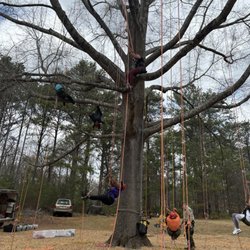
Trolley Line Trail Photos


More like Trolley Line Trail
Recommended Reviews - Trolley Line Trail
Start your review...



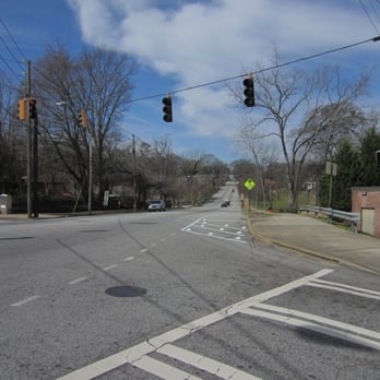
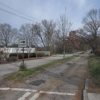
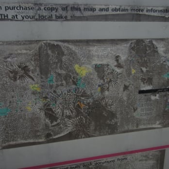
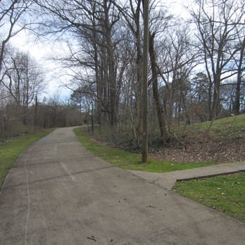
The Trolley Line is part of the PATH system of biking/walking paths in the metro area. As such, it's just A-OK, given that it is a short, poorly-marked and fragmented stretch of trail. On the ground, it's not easy to tell where the non-road portion of the Trolley Line starts and ends. At one point - in Coan Park - there's a map but it's so faded as to be useless. As far as I can tell, one end is at Hosea Williams/Warren and the other at Woodbine/Montgomery, which matches what is shown on Google maps and what is shown of the PATH website for Trolley Line: https://pathfoundation.org/trails/trolley-trail/ The rest of the purported length of the the path (seven miles from Agnes Scott College to Krog St) is on city streets. Walking the path takes you past two city parks - Coan and Gilliam - and requires you to walk/bike a short bit of very lightly trafficked road (Woodbine between Hosea Williams Dr. and Gilliam Park). Except for that one road section, the path is composed of wide concrete. Trolley Line Trail can also be accessed from Arizona Avenue via a short spur path. I love the PATH system. This isn't one of the better sections. read more






More info about Trolley Line Trail
Rogers St NE
Atlanta, GA 30307
Edgewood
Directions
Hours
Outdoor Amenities