Rangeley Town Cove Park Photos


You might also consider
More like Rangeley Town Cove Park
Recommended Reviews - Rangeley Town Cove Park
Start your review...

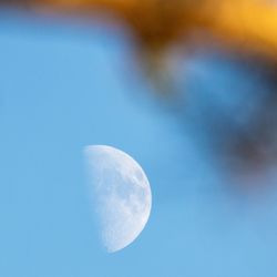
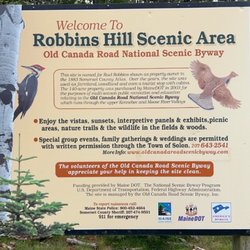
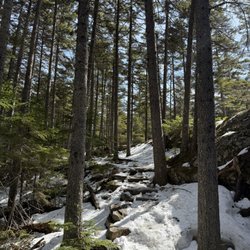
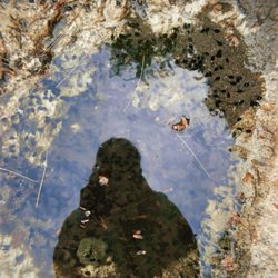
Shot in the Park Park located in the heart of Downtown Rangeley that has many amenities: *Free parking *Public boat launch *×2 Tennis courts *×1 Basketball court *Playground *Covered picnic tables w/ BBQ pits *Frolf course (Frisbee golf) *Restrooms *Fishing Conclusion: Great park with lots of fun stuff. read more


More info about Rangeley Town Cove Park


Rangeley Town Cove Park - parks - Updated July 2026
Best of Rangeley
People found Rangeley Town Cove Park by searching for…
Playgrounds in Rangeley, Maine
Things to Do in Rangeley, Maine
Basketball Courts in Rangeley, Maine
Free Parking in Rangeley, Maine
Fishing Spots in Rangeley, Maine
Kids Playground in Rangeley, Maine
Photo Spots in Rangeley, Maine
Boat Launch in Rangeley, Maine
Picnic Areas in Rangeley, Maine
Camping Sites in Rangeley, Maine
Places to Take Pictures in Rangeley, Maine
Attractions in Rangeley, Maine
Picnic Tables in Rangeley, Maine
Walking Trails in Rangeley, Maine
Tennis Court in Rangeley, Maine