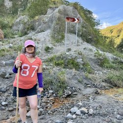
A lot of people are into hiking and camping nowadays. It is somewhat what they call an "in" thing but this hobby takes guts and a lot of passion for adventure. One experience I will never forget is hiking Mt. Balingkilat in Zambales. It was an 8-hour hike/climb (with my pace) going up to the campsite. It was really rewarding because the view was definitely amazing, day or night. We witnessed the sunset, the night sky full of stars, and eventually the sunrise. We stayed there over night and the next day we traversed to Nagsasa Cove. We relaxed by the beach while waiting for the boat. When it arrived, we went island hopping and visited Capones Island which was beautiful as well. Clear waters and an amazing horizon was just the perfect way to end the trip and go back to Manila.
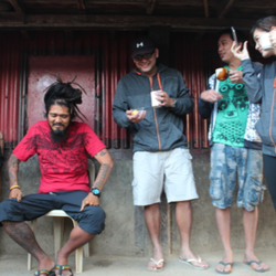
This great experience was all possible because of a group of people who arranged everything from the round trip transportation down to the meals, boat rides and of course the mountain climb itself. Vincent Sy, a graduate of DLSU and has great passion for anything outdoor-nature related, started DTF - Da Trekking Friends together with his brother Vernon Sy last April 21, 2015. It is a Manila-based service group who organizes trips that involve a lot of outdoor adventure for those who want to hike/trek (to anywhere in the Philippines) but don't know what to do and where to start. They basically offer the service of helping you organize where, when and what you want to do in this trip. They even have affordable packages to choose from! To them, customer convenience matters. With the lead of Vincent, anyone who wants to experience what I have experienced can finally do so without the stress that comes with the planning! Of course you may wonder if you're in the right hands. My answer would be, yes! This guy really knows what he's doing. He has hiked 22 mountains, trekked to 12 falls/rivers, and explored around 10 islands/beaches/coves all of which are in the Philippines. DTF is indeed qualified to be your planner and tour guide. If you want to see more of the beauty there is in the Philippines, see what else it has to offer and want a change in terms of fun and adventure, give DTF a call. I promise you'll have great time! I know I did. With their lead, I was able to see a different side of the country.
Facebook page - DTF: Da Trekking Friends
Email Address - datrekkingfriends@gmail.com
Mobile no. - 0926 681 8620 read more