Diamond Shoals Photos


More like Diamond Shoals
Recommended Reviews - Diamond Shoals
Start your review...



3 days ago

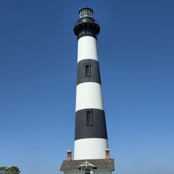
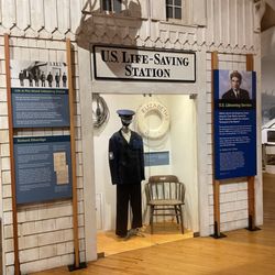
This marker stands at the curve where NC 12 turns to start heading north along the Outer Banks. It points out the history of the geographic and nautical vicinity. The marker has the same text on both sides. It reads, "'Diamond Shoals. 'Graveyard of Atlantic.' German submarines sank over 100 ships here, 1941-42, in the "Battle of Torpedo Junction." Shoals are 3 mi. south." Diamond Shoals is a shifting series of sandbars off Cape Hatteras. It has long threatened ships due to its volatile location where the Gulf Stream meets the Labrador Current. Recognizing the danger, Congress authorized the Cape Hatteras Lighthouse in 1794 and later deployed lightships and established the U.S. Life Saving Service to aid mariners. Though steamships reduced wrecks by the early 20th century, German U-boats sank numerous vessels near the shoals during both World Wars. Today, modern navigation has improved safety, but the shoals remain a cautionary zone for passing vessels. There is room to stop and read the marker, which is number B-41 and was erected in 1962 by the Archives and Highways Departments. [Review 796 of 2025 - 4228 in North Carolina - 24356 overall] read more

1 year ago
I ordered a Surfer Girl and Lion sushi rolls with seaweed salad, to go. I sat at the sushi bar. Watching the 3 sushi chefs was fun and they were pleasant to talk with. Both rolls were delicious, fresh, and well crafted. My friend had the crab cake sandwich and coleslaw. He said it was also tasty. read more

1 year ago
1 year ago