Blackwood Forest Photos

Recommended Reviews - Blackwood Forest
Start your review...

16 years ago
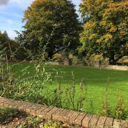
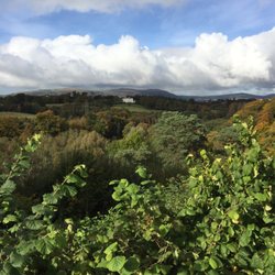
As you drive along Crawfordsburn Road there is a little parking area and a fence - beyond this fence is a beautiful, peaceful sweeping forest. This walkway is very popular with local dog walkers, ramblers and cyclists. The track is well established and the terrain is mostly flat, making it suitable for even the most unfit person. I often take my dog here and my only gripe is the lack of dog waste bins - this leads many people to lift the poo but leave it in the colorful little bag along the path - why bother lifting it if you're not going to bin it? This walkway runs along the side of Blackwood Golf Center so you can often hear and see the men and women out playing golf - I find this quite reassuring as the forest can be quite dark, looming and a little scary. The walk is part of The Ulster Way and if you fancy a really big walk you can walk from Blackwood forest all the way to Helen's bay - a beach a few miles away. That walk will take a few hours but it is picturesque, beautiful and well worth it if you have the stamina and time. A lovely way to spend a Sunday afternoon. read more


More info about Blackwood Forest
Crawfordsburn Rd
Newtownards BT23 4
United Kingdom
Directions
Hours
Outdoor Amenities