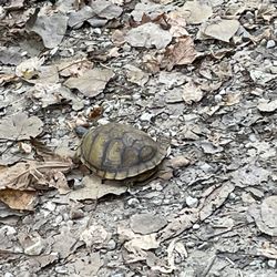
Bangert Island Photos


You might also consider


More like Bangert Island
Recommended Reviews - Bangert Island
Start your review...



1 month ago

5 years ago
My first time biking Bangert I was alternately delighted and frustrated. A bicycle allowed me to cover the entire island, something I've never done on foot. Every time I came to a path fork I took the trail heading away from the interior. So, it was a delight to cover the perimeter and finally explore areas I hadn't been in before. However, the lack of trail markers--even at the forks--meant much of the time I had little idea where I was. The trail map was no help and only by checking the sun's position and knowing where the river was did I have an idea of the general direction I was headed. That was frustrating. I kept thinking how a walker wouldn't know where they were, nor how far they were from the next fork that could take them back to Bangert's entrance. Beyond that, the island's trails are fairly easy. Paths nearest the River Road and along the north are solid and mostly flat. Trails along the river are sandy with frequent dips and switchbacks. I began by heading north toward Interstate 70 and its traffic roar. Once I made the turn south and biked further from the bridge the noise subsided and the ride became more serene. However, the trail also got narrower. Trees close in and it's easy to snag a handlebar or pedal. There were a few small tree trunks across the trail--part of the fun of mountain biking--but most were level with the ground. A few trunks showed recent evidence of large trees having been cut to allow the path to run between the sections. Carey in what you need: There are no facilities of any sort here. read more


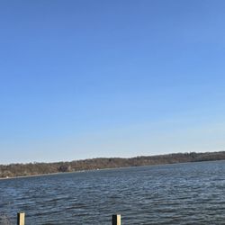
Would love to give this a 5 star review, but went on the Slough Loop Trail and got about a mile into the "loop" and hit a dead end with lots of downed trees and heavy brush covering the trail, with no real way to get around. Had to backtrack and try another trail. That trail was open with no dead ends. Hopefully St. Charles County parks will clear the downed trees this winter and open all the trails once again for Spring 2022. Anyway, nice overlook of the Missouri River just south of the I-70 Blanchette Bridge. The trails are mostly wooded with several spots that have views of the river. read more


4 years ago
The Blanchette Memorial Bridge is a pair of twin cantilever bridges carrying Interstate 70 across the Missouri River between St. Louis County and St. Charles County, Missouri, opened in 1959. At the bridge's crossing, the Missouri River reaches an average depth of about 45 feet. read more

More info about Bangert Island
1712 S River Rd
Saint Charles, MO 63303
St Charles
Directions
Hours
Outdoor Amenities