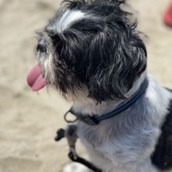
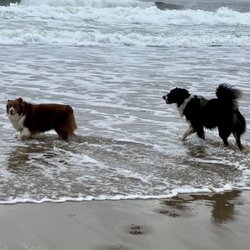
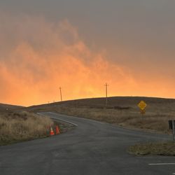
Alan P Sieroty Beach Photos


You might also consider
More like Alan P Sieroty Beach
Recommended Reviews - Alan P Sieroty Beach


More info about Alan P Sieroty Beach
14990 Hwy 1
Marshall, CA 94940
Directions
Hours
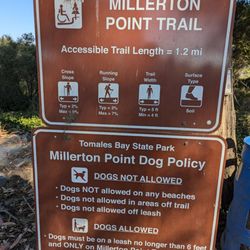
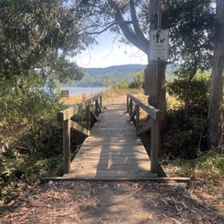
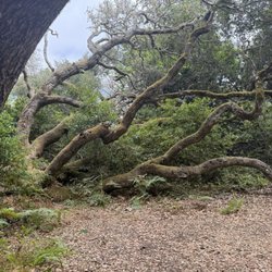
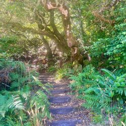
Outdoor Amenities
You might also consider


Alan P Sieroty Beach - beaches - Updated July 2026
Best of Marshall
People found Alan P Sieroty Beach by searching for…
Things to Do in Marshall, California
Picnic Areas in Marshall, California
Secluded Beaches in Marshall, California
Picnic Spots in Marshall, California
Beaches for Kids in Marshall, California
Picnic in Marshall, California
Seashell Beaches in Marshall, California
Scenic Drive in Marshall, California
Tide Pools in Marshall, California
Photo Spots in Marshall, California
Swimming in Marshall, California
State Park in Marshall, California
Watch Sunset in Marshall, California
Romantic Spots in Marshall, California
Parks for Kids in Marshall, California
Fishing Spots in Marshall, California
Parks for Picnics in Marshall, California
Tourist Attractions in Marshall, California
Playground in Marshall, California
Closest Beach in Marshall, California
Browse Nearby
BEST of Marshall, California Restaurants near Alan P Sieroty Beach
BEST of Marshall, California Things to Do near Alan P Sieroty Beach
BEST of Marshall, California Coffee near Alan P Sieroty Beach
BEST of Marshall, California Parks near Alan P Sieroty Beach
BEST of Marshall, California Breakfast near Alan P Sieroty Beach
BEST of Marshall, California Vacation Rentals near Alan P Sieroty Beach
BEST of Marshall, California Picnic Areas near Alan P Sieroty Beach
BEST of Marshall, California Resorts near Alan P Sieroty Beach
BEST of Marshall, California Campgrounds near Alan P Sieroty Beach