Millerton Point Photos


You might also consider
More like Millerton Point
Recommended Reviews - Millerton Point
Start your review...

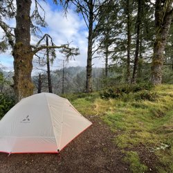
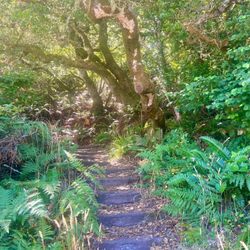
This is a nice walk if looking for things to do while driving along the 1 or for a short hike right outside of Point Reyes station. The loop is about 1.5 miles or 30 minutes, but I always take longer because I'm taking in all the scenery. There's a little beach which can get slightly busy on the weekend, but no one is really around on the weekdays. The walk is pretty flat so it's easy. I love the scenery and looking out at Tomales Bay and Mount Vision. read more


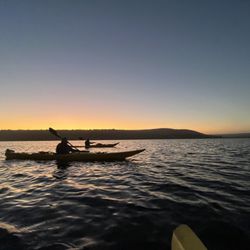
We only made it about 20 minutes out of Point Reyes Station before I hit the brakes and swerved into the Millerton Point parking lot because the views here were amazing. Not in a mood for hiking today, we stopped, walked out to the point, looked and took pictures. The views are amazing with Tomales Bay separating the mainland from the peninsula. Absolutely stunning. We were here in the morning. I'll bet the sunsets are intense. There is a small permanent potty here but it does not have running water. read more


4 years ago
13 years ago
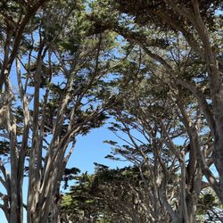
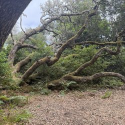
Long sweeping sometimes dramatic views of Tomales Bay over a large expanse of grassy pasture. Free parking. Dogs allowed. After we parked, walked on the path to the left, and continue along the waterline past two groups of people having picnics. Felt strangely like a casual and intimate beachfront in France - just like a Renoir painting without the period clothing - as we were walking right through both parties... but they did not seem to mind. Access to water is rocky or otherwise dirty... not clean sandy beachy. Great area to hike, though. Another hiker lost her large labrador, and we were hiking with 3 dogs so Gina came straight to our dogs and we nabbed her. The large hilly grasses easily hide even large dogs, and the area is not gated or separated from Hwy 1 so I would suggest keeping tabs on your dog(s) as if yours likes to run free, that freedom includes access to the Hwy. For Gina it ended well as her owner snapped a leash onto her collar. read more

Business owner information
Ranger S.
Dogs are only permitted on the signed trail and must remain on leash…
8 years ago
11 years ago
More info about Millerton Point
Tomales Bay State Park
Millerton, CA 94956
Directions
(415) 669-1140
Call Now
Hours
Outdoor Amenities
Ask the Community - Millerton Point
You might also consider


Why does Yelp recommend reviews?
1 review that is not currently recommended
The reviews below are not factored into the business's overall star rating.
12 years ago
Millerton Point - hiking - Updated June 2026
Best of Millerton
People found Millerton Point by searching for…
Fishing Spots in Millerton, CA
Hiking Trails in Millerton, CA
Dog Friendly Hiking Trails in Millerton, CA
Kids Friendly Beaches in Millerton, CA
Free Beach Parking in Millerton, CA
Running Trails in Millerton, CA
Walking Trails in Millerton, CA
Seashell Beaches in Millerton, CA
Browse Nearby
BEST of Millerton, California Restaurants near Millerton Point
BEST of Millerton, California Things to Do near Millerton Point
BEST of Millerton, California Parks near Millerton Point
BEST of Millerton, California Coffee near Millerton Point
BEST of Millerton, California Beaches near Millerton Point
BEST of Millerton, California Breakfast near Millerton Point
BEST of Millerton, California Campgrounds near Millerton Point