Trading Path Historical Marker Photos

More like Trading Path Historical Marker
Recommended Reviews - Trading Path Historical Marker
Start your review...



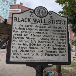
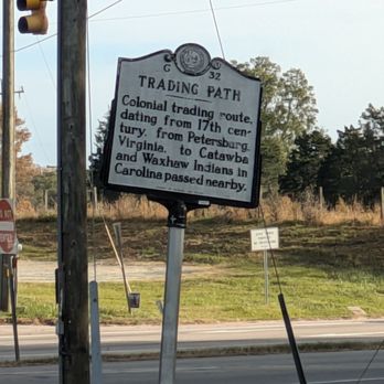
A great spot for this marker, it's at the intersection and you have something to read and ponder as you wait for the traffic light to turn on to US-501. The marker reads, "Trading Path. Colonial trading route, dating from 17th century, from Petersburg, Virginia, to Catawba and Waxhaw Indians in Carolina passed nearby." Online, there is more information. "In North Carolina, the early history of the colony is replete with stories of the reliance by colonists upon Indian trade and trading routes, and the consequent establishment of villages where they engaged in bartering. Such routes were well known, well marked, and well trodden. The Occaneechi Path, stretching from Petersburg, Virginia, to the Waxhaws region, was one of a hundred such trails running throughout the state and the southeast. But the Trading Path was the central highway, the most fabled route, the interstate of its day. (Its course approximates that of Interstate 85.) "The course of the Trading Path entered North Carolina near present-day Norlina, then passed through Bullock, northern Durham County, Hillsborough, Mebane, Alamance, Julian, central Randolph County, Denton, western Davidson County, Salisbury, and Concord. In Mecklenburg County the path forked, with a spur to Indian Trail and Waxhaw, and another to Charlotte and Pineville." This is marker number G-32 and it was erected in 1941 by the Division of Archives and History. [Review 2163 of 2024 - 3820 in North Carolina - 23182 overall] read more