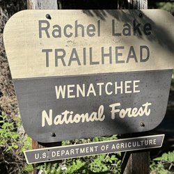
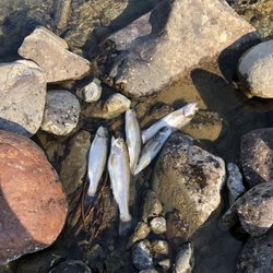
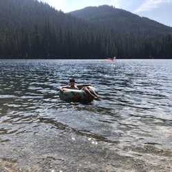
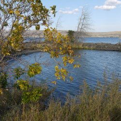
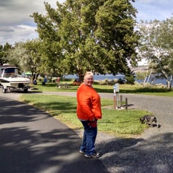
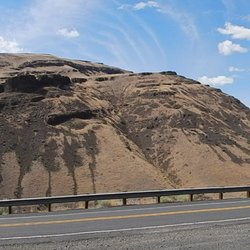
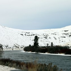
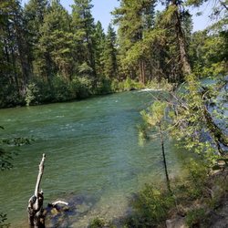
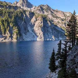
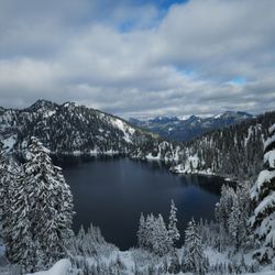
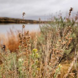
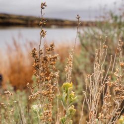
The Evening Hatch Fishing Photos


More like The Evening Hatch
Recommended Reviews - The Evening Hatch
Start your review...

1 year ago


8 years ago
9 years ago
Business owner information
Jack M.
Buddy, Thanks for the feedback! You were a pleasure to take fishing!
11 years ago
Business owner information
Jack M.
Dave, Thanks for the positive feedback:))
5 years ago
9 years ago
14 years ago
Business owner information
Jack M.
Todd,…
8 years ago
13 years ago
Business owner information
Jack M.
Eileen, Thank you so much for the positive kudos. We look forward to…
12 years ago
Business owner information
Jack M.
We have over a 30 years in business. Not fulfilling someones…
More info about The Evening Hatch
2308 S Canyon Rd
Ellensburg, WA 98926
Directions
(509) 962-5959
Call Now
Visit Website
http://www.theeveninghatch.com
Hours
Outdoor Amenities
From the Business
Ask the Community - The Evening Hatch
Review Highlights - The Evening Hatch


Why does Yelp recommend reviews?
9 reviews that are not currently recommended
The reviews below are not factored into the business's overall star rating.
8 years ago
8 years ago
11 years ago
11 years ago
11 years ago
12 years ago
8 years ago
8 years ago
8 years ago
The Evening Hatch - fishing - Updated May 2026
Best of Ellensburg
People found The Evening Hatch by searching for…
Things to Do in Ellensburg, WA
Fishing Guides in Ellensburg, WA
Hiking Trails With Waterfalls in Ellensburg, WA
Fly Fishing Shop in Ellensburg, WA
Places to Take Pictures in Ellensburg, WA
Scenic Overlook in Ellensburg, WA
Fishing Trips in Ellensburg, WA
Fishing Charter in Ellensburg, WA
Swimming Lakes in Ellensburg, WA
Walking Trails in Ellensburg, WA
Fishing Tackle Shop in Ellensburg, WA
Fishing Spots in Ellensburg, WA
Trout Fishing in Ellensburg, WA
Things to Do at Night in Ellensburg, WA
Trending Searches in Ellensburg, WA
Boat Rental near The Evening Hatch
Boating near The Evening Hatch
Bounce House Rentals near The Evening Hatch
Campgrounds near The Evening Hatch
Cherry Picking near The Evening Hatch
Floral Designers near The Evening Hatch
Flower Shop near The Evening Hatch
Garden Center near The Evening Hatch
Nurseries & Gardening near The Evening Hatch
Outdoor Furniture Stores near The Evening Hatch
Party Equipment Rentals near The Evening Hatch
Pedicure near The Evening Hatch
Pick Your Own Farms near The Evening Hatch
Rv Rental near The Evening Hatch
Sunset View near The Evening Hatch
Browse Articles
Browse Nearby
BEST of Ellensburg, Washington Restaurants near The Evening Hatch
BEST of Ellensburg, Washington Coffee near The Evening Hatch
BEST of Ellensburg, Washington Breakfast near The Evening Hatch
BEST of Ellensburg, Washington Shopping near The Evening Hatch
BEST of Ellensburg, Washington Wineries near The Evening Hatch
Browse Brands
Related Searches in Ellensburg, WA
Affordable Kayak Rental Services in Ellensburg, Washington
Best Fun Things to Do in Ellensburg, Washington
Best Places for Horseback Riding in Ellensburg, Washington
Book Top Fishing Trips in Ellensburg, Washington Today
Discover Top Boat Tours in Ellensburg, Washington for All Ages
Discover the Best Fishing Lake in Ellensburg, Washington
Enjoy Camping Adventures Around Ellensburg, Washington
Enjoy Fishing With Kids in Ellensburg, Washington Safely
Enjoy Hiking Adventures in Ellensburg, Washington
Enjoy River Tubing Adventures in Ellensburg, Washington
Enjoy Tent Camping Spots Around Ellensburg, Washington
Enjoy the Best Tubing Experiences in Ellensburg, Washington
Enjoy the Best Walking Trails in Ellensburg, Washington
Exciting Cliff Jumping Spots in Ellensburg, Washington
Experienced Fishing Guides Available in Ellensburg, Washington
Explore Beautiful Parks and Green Spaces in Ellensburg, Washington
Explore Bike Rentals Throughout Ellensburg, Washington
Explore Free Things to Do Around Ellensburg, Washington
Explore Fun Activities to Do in Ellensburg, Washington
Explore Popular Boat Charters Near Ellensburg, Washington
Explore Popular RV Parks Around Ellensburg, Washington
Explore Scenic Lakes to Visit in Ellensburg, Washington
Explore Top Marinas Near Ellensburg, Washington
Explore the Best Boating Spots in Ellensburg, Washington
Explore the Best Swimming Holes Around Ellensburg, Washington
Find Exciting Tours to Take in Ellensburg, Washington
Find Popular Ziplining Spots Around Ellensburg, Washington
Find Top Dog Swimming Spots in Ellensburg, Washington
Find Top Outdoor Gear Stores in Ellensburg, Washington
Find Top-Rated Disc Golf in Ellensburg, Washington
Find the Best Playgrounds to Visit in Ellensburg, Washington
Find the Best Swimming Pools in Ellensburg, Washington Today
Hiking Trails With Waterfalls in Ellensburg, Washington
Popular Fishing Spots to Explore in Ellensburg, Washington
Popular Kids Activities in Ellensburg, Washington
Popular Picnic Spots to Visit in Ellensburg, Washington
Popular Things to Do in Ellensburg, Washington
Safe River Swimming Areas in Ellensburg, Washington
Safe and Fun Parks for Kids in Ellensburg, Washington
Top Fishing Charter Experiences in Ellensburg, Washington
Top Fishing Ponds to Visit in Ellensburg, Washington
Top Hiking Trails to Explore in Ellensburg, Washington
Top Paddleboarding Activities in Ellensburg, Washington
Top RV Campgrounds to Visit in Ellensburg, Washington
Top Running Trails to Explore in Ellensburg, Washington
Top Sporting Goods Shops and Gear in Ellensburg, Washington
Top Swimming Lakes to Enjoy in Ellensburg, Washington
Top Swimming Spots and Pools in Ellensburg, Washington
People who viewed The Evening Hatch also viewed
Red's Fly Shop
49 reviews
Troutwater Fly Shop
17 reviews
Top Fly Guide Service
1 review
Big Pines Recreation Area
8 reviews
Irene Rinehart Riverfront Park
10 reviews
Manastash Ridge Viewpoint
5 reviews
Kinship Trail Rides
4 reviews
Ginkgo Petrified Forest State Park
1 review
Memorial Pool
4 reviews
Rehv Arms Ellensburg
1 review