
Sunset Hill Trail Photos


You might also consider
More like Sunset Hill Trail
Recommended Reviews - Sunset Hill Trail
Start your review...

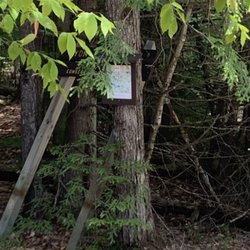
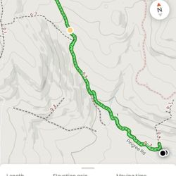
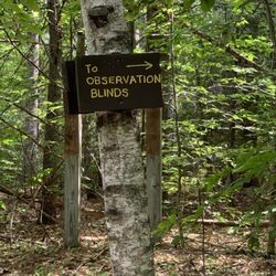
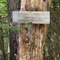
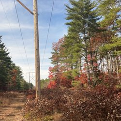
The Sunset Hill Trail in Newbury NH is aptly named after this wonderful trail that has an almost unobstructed view of the West, Lake Sunapee and the Green Mountains of Vermont. Sunset here is a moment of glory. The trail is an easy to moderate 2.4-mile out and back with only a 500-foot ascent. The trail has a steady climb so once you start past the gate, it continues almost at the same grade - considering this used to be a stage coach route to an 1800s farm. Once on top, there are magnificent views. On a dry day in the beginning of September, we didn't see a bug nor a mosquito.... The trail is part of the John Hay Estate, the property of one of America's most consequential Secretaries of State. Hay was the director of our foreign policy in the Spanish American War under President McKinley, the manager of President Teddy Roosevelt's Open Door Policy with China, and led the diplomatic efforts to building the Panama. Canal. The Hay Estate has many acres and besides the trail, visitors can see The Fells, the home of the late State Secretary. A piece of history, a wonderful hike and a great visit. read more


More info about Sunset Hill Trail
456 Rte 103A
Newbury, NH 03255
Directions
Hours
Outdoor Amenities


Sunset Hill Trail - hiking - Updated July 2026
Best of Newbury
Browse Nearby
BEST of Newbury, New Hampshire Restaurants near Sunset Hill Trail
BEST of Newbury, New Hampshire Coffee near Sunset Hill Trail
BEST of Newbury, New Hampshire Things to Do near Sunset Hill Trail
BEST of Newbury, New Hampshire Breakfast near Sunset Hill Trail
BEST of Newbury, New Hampshire Shopping near Sunset Hill Trail