Reese Park Photos


You might also consider


More like Reese Park
Recommended Reviews - Reese Park
Start your review...



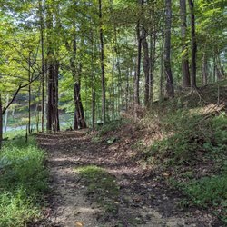
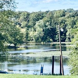
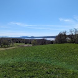
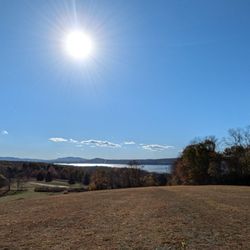
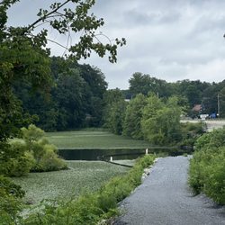
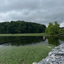
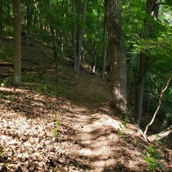
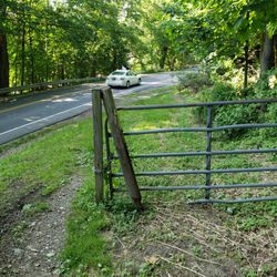
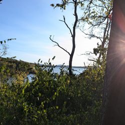
If anyone is deeply into nature despite great views, this is the place to come to. There is not a lot of parking space, but from what I've seen, it doesn't seem to fill up. A map is provided just as you enter, followed by a gravel path going uphill. There is no public access for vehicles on this part. Along the way, you'll see letters indicating trails. These trails end up doing a loop, eventually meeting up with the gravel. The trails provide arrows on trees to follow the path, and it's marked clearly. At the end of the uphill on the gravel, there is additional space assuming for park employees to park or if it gets packed. Continuing, the gravel turns into a grassy trail, splitting to the left and right. Both of those end up going toward 9D into private property. On the left split, there is a bridge that crosses a stream that leads to Wappingers Creek. The only highlights I enjoyed were that and the trail that parallels the stream. On the right split, there's not too much to take in except paralleling the stream on the upper side. Two suggestions I do wish is to update signatures regarding trail letters (some were messing) and provide the letter along the way. Taking a photo of the map is key to make the trip enjoyable. read more


4 years ago