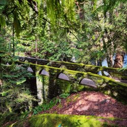
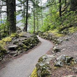
Mount Shuksan Photos


You might also consider
More like Mount Shuksan
Recommended Reviews - Mount Shuksan
Start your review...

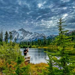
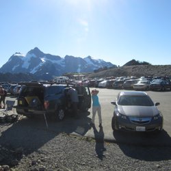
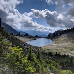
As I start this review I see a picture of someone doing a climb to the peak in this entry on Yelp. I'm not nearly that rugged or adventurous but Mount Shuksan is a beautiful mountain peak to see! You get fantastic views of it at Picture Lake and up at Artist Point. At the top of Artist Point you get a great panoramic view of the area. Mount Shuksan is a non volcanic peak and while Mount Baker which is the other major peak you see at the point is volcanic. Mount Shuksan is also in the North Cascades National Park while Mount Baker is in the Mount Baker National Forest area. So you are very close to a couple of boundaries in this area... and of course farther north is Canada. When we went to the Artist Point area there was some haze from forest fires but that didn't stop us from getting some really great pictures of the scenery. I was most taken with Mount Shuksan and I wound up taking a lot more pictures of that peak than Mount Baker but the whole area is a true sight to behold. read more


More info about Mount Shuksan


Mount Shuksan - hiking - Updated May 2026
Best of Mount Shuksan
People found Mount Shuksan by searching for…
Indoor Rock Climbing in Mount Shuksan, WA
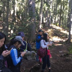
Things to Do With Kids in Mount Shuksan, WA
Bungee Workout in Mount Shuksan, WA
Waterfalls and Swimming Holes in Mount Shuksan, WA
Hiking Trails With Waterfalls in Mount Shuksan, WA
Bungee Jumping in Mount Shuksan, WA
Star Gazing in Mount Shuksan, WA
Lookout Points in Mount Shuksan, WA
Secret Spots in Mount Shuksan, WA
Off Road Trails in Mount Shuksan, WA
Sunset View in Mount Shuksan, WA
Secluded Spots in Mount Shuksan, WA
Sunrise View in Mount Shuksan, WA
Dog Hiking Trails in Mount Shuksan, WA
Climbing Gym in Mount Shuksan, WA
Scenic Overlook in Mount Shuksan, WA
Easy Hikes in Mount Shuksan, WA
Gold Panning in Mount Shuksan, WA
Tent Camping in Mount Shuksan, WA