Mount Grant Preserve Photos



You might also consider


More like Mount Grant Preserve
Recommended Reviews - Mount Grant Preserve
Start your review...



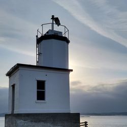
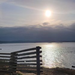
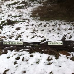
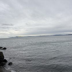
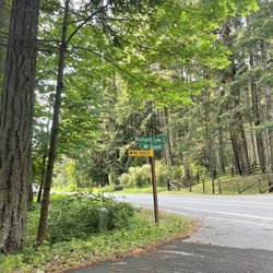
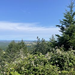
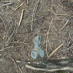
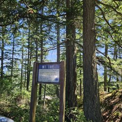
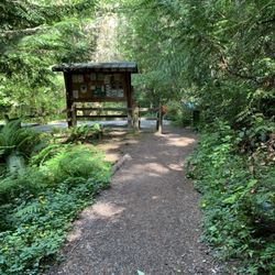
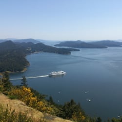
Mount Grant Preserve was everything I could ask for and more. There is road access to the summit of the mountain with different hours the gate is open depending on the season. The San Juan County Land Bank's website provides more details about gate hours if you want to know when it is going to be open in advance of your visit. Driving west on West Valley Road the turn-off to parking for Mount Grant Preserve is on Richard Lee Lane. 'No Parking' signs along the road and parking area explicitly label where not to park. There are a few parking spaces to the right of the mailboxes (facing the mailboxes) and behind the mailboxes where you can park before you reach the main gate. The day I visited the gate was not open, this meant non-motorized (I chose foot) access to the summit. I did not know if I would make it to the top or not. I injured my knee about two months ago and this was the first trail I was attempting summit and back. The hike starts off along a paved road. There are a few different trails you can hike in the Preserve, I chose to take the Greywacke Trail and then the Lawsonite Trail to the summit of Mount Grant. My knee wasn't bothering me by the time I got to the non-motorized trail, so I decided to continue on. The Greywacke Trail was comparatively flat and the signage provided some information on the rock called greywacke and why the trail was named after the rock (I am a geologist so I loved this). The Lawsonite trail branches off from the Greywacke Trail and is steep in places. I stopped to take pictures, which also allowed me to catch my breath. Nearing the top of the hike to the summit you start to pass views out over the surrounding through the tree branches. This is a very beautiful place with gorgeous scenery. I reached the summit without my knee bothering me (the first time this has happened for a steep trail since my injury)! At the summit the foot trail reconnects with the motorized access road to the summit. There are some short walking trails around the summit so you can fully take in the scenery. These trails are flat, which is perfect if you want to bring a grandparent here who struggles with hills and uneven terrain. There are also a number of benches and picnic tables in addition to a very clean restroom (port-a-potti). I decided to go back down the Lawsonite and Greywacke Trails on my way down the mountain though you could have also walked down the road if you wanted to that day. A bicyclist had made it to the summit while I was walking around and exploring. I encountered one other group pulling in and parking as I got back to my car to depart for the day. My knee had been giving me pain/discomfort while going down steep inclines before this hike, but on this hike I didn't even have slight discomfort. Hooray for successful knee strengthening! If the hike had been longer, I am not sure if the results would have been the same. I hiked about 2-3 miles (there are almost 5 miles total) of the trail system with about 700 feet of elevation gain. I found this to be a satisfying hike in length and intensity. A quiet hike with great rocks, plants, and the potential to see some neat wildlife. read more