Moanalua Access Path Photos



More like Moanalua Access Path
Recommended Reviews - Moanalua Access Path
Start your review...



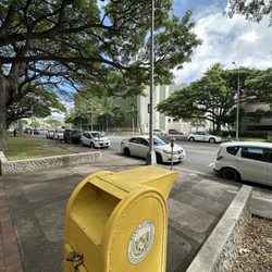
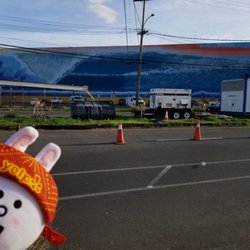
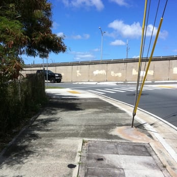
Part Five of my "Moanalua-A-Day" Series is this no-frills piece of paved asphalt that connects Moanalua Valley's main artery, Ala Aolani Street, to Mahiole Street and connecting points of interest: 1) Moanalua Community Park; 2) Moanalua Dog Park; and 3) Moanalua Gardens. While I was training for the HNL Marathon 2010, this path was key to my first (or last) water stop (Moanalua Community Park) while en route to/from Lagoon Drive for a 10-miler. Moanalua Access Path or M.A.P. (my name choice) is situated at the corner of Ala Aolani Street and Moanalua Road, exactly at Exit 2 H-2 West. You may have seen runners, walkers or cyclists use this path while you were sitting in westbound traffic heading up towards Red Hill. You may have even noticed how stuck in traffic you really were as I ran past you on this hot parallel path. Many mornings you'll likely see Army runners from Tripler making their way via this path into Moanalua Valley then up towards Kasier Moanalua, turning around at the top of Red Hill. M.A.P. is about a half mile stretch that guides you between Moanalua Freeway and the Moanalua Stream. It passes a Hawaii Telcom Station then bridges you straight to Jarrett White Road or right towards Moanalua Community Park that houses the Moanalua Dog Park and eventually to Moanalua Gardens. Passing through the length of the Gardens you'd be able to access Fort Shafter. All of these points of interest can be reached on foot. Now, you ready for a walk or run? #Yelp 365: 009/365 read more