Mistaya Canyon Photos


More like Mistaya Canyon
Recommended Reviews - Mistaya Canyon
Start your review...

A short excursion from the highway to see some raging waters from a bridge or from rocks, it's a free attraction. Busy tourist attractions and way too many people trying to get themselves too close to the edge. Besides that, watching the water go is quite interesting. read more


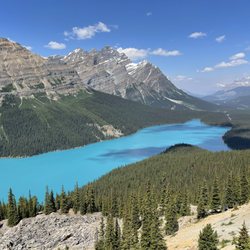
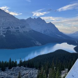
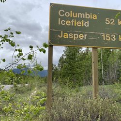
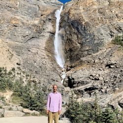
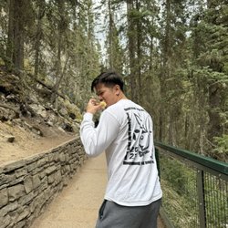
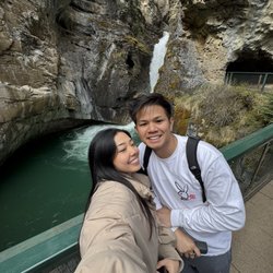
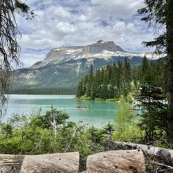
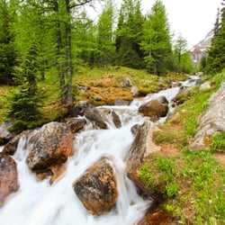
Mistaya Canyon is a quick and popular roadside stop around the midpoint area along famed Icefields Parkway. It lies 5 kilometers south of the Saskatchewan River Crossing, which many people consider as the "official" halfway point between Jasper (158 km) and Banff (130 km). From the parking lot, it's a short walk to Mistaya Canyon. You'll first confront a bridge/overlook viewpoint that showcases the raging Mistaya River zigzagging through the rugged rock canyon walls. And best of all from this bridge vista point, you're afforded scenic sights of the forest trees around you with beautiful snowcapped mountain peaks set in the distance. I recommend capturing a photo or two from the bridge. Then...you have the chance to go and explore at your own accord, sort of like choosing your own adventure. Although there is a trail pathway you can follow, most people were climbing on the rocks beside the river and taking their best family photo moments. When I was here for the middle of June, it wasn't too crowded, so you're able to get some decent alone time among the picturesque setting. Since there's so much to see and do along Icefields Parkway and if you're managing your activities throughout the day....I'd just mention that you only really need 30 - 40 minutes while here. But...if you're in no rush, you can sit down and enjoy a picnic lunch and spend 1 or 2 or 3 hours. Point is...to witness Mistaya Canyon, you don't have to work hard to get a real feel glimpse of the surroundings. Overall, this place is another worthwhile attraction within the Canadian Rockies and should be taken advantage of because its conveniently located right off Icefields Parkway. read more


7 years ago
This is a unique stop along Icefields Parkway. It's about half a kilometer hike from the parking lot down to the canyon. The canyon itself is gorgeous. The river's water is white mixed with the light milky blue we've come to expect from this area. The canyon is cut and curved in a unique shape making it very interesting. There's a bridge that goes across the river and the best views are from the rocks on the other side. Make sure to stay on the dry ones because falling in would certainly lead to death. It's a quick stop and one that's well worth it. read more


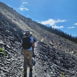
Mistaya Canyon is along Highway 93 in the Columbia Icefields. My friends and I came last month and there were still snow on the trail and at the canyon. It is a very short hike to the canyon. Once you get to the canyon, there is a bridge that allows you to look down into the deep canyon. As you walk further, you can sit by the water and look out toward the mountain (just be careful to not slip!). The scenery is stunning. There was no one there when we went so it was so peaceful to just sit and listen to the water flow into the canyon. Another great place to take photos! read more


More info about Mistaya Canyon
Icefields Parkway
Alberta, AB T0L
Canada
Directions
Hours
Outdoor Amenities