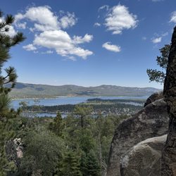
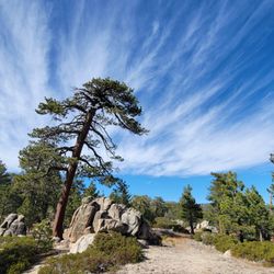
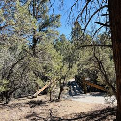
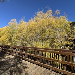
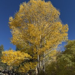
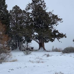
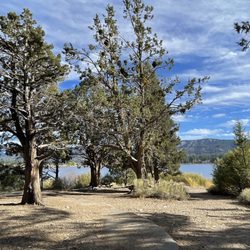
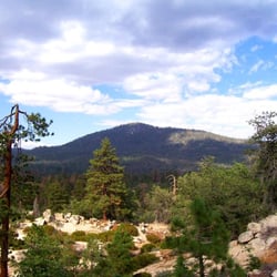
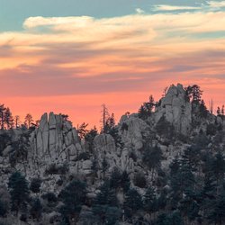
These trails are so new that they are not shown on Apple Maps or Google Maps. They are on private land, so they may be open even if the National Forest is closed. From CA 38 (Big Bear Blvd) through Big Bear City, turn south on Maple Lane towards Sugarloaf. Park at Big Bear High School and not at the trailhead, which has very little space. I parked on the lower part of the school parking lot, near Maple Lane and well away from the school. Walk about a minute north along Maple Lane (no sidewalk) to the trailhead. Once you find the trailhead, the trails are well marked! The longest trail is School Loop Trail, which is about 3.3 miles long but there are several connectors, and each junction has a sign. These are reverse trails, below the trailhead. Open area, a few trees, elevation up to 7000 feet. Keep south and west to avoid road noise from CA 38 and from Maple Lane. read more