Cancel

Open app

Search

City of Hampton

3.5 (2 reviews)

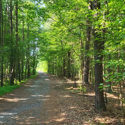
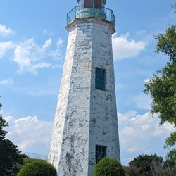
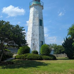
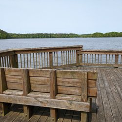
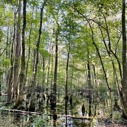
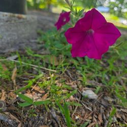
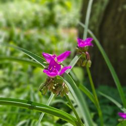
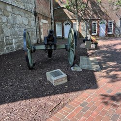
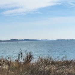
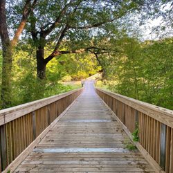
City of Hampton Photos

More like City of Hampton

Recommended Reviews - City of Hampton

Your trust is our priority, so businesses can't pay to alter or remove their reviews. Learn more about reviews.
Yelp app icon
Browse more easily on the app
Review Feed Illustration
Photo of Mike R.
77
1867
13466

2 years ago

Helpful 1
Thanks 1
Love this 1
Oh no 0

16 years ago

Helpful 0
Thanks 0
Love this 0
Oh no 0

Verify this business for free

Get access to customer & competitor insights.

Verify this business

Noland Trail

Noland Trail

4.8(44 reviews)
13.8 km

It's been a long time since last on the Noland Trail and I really enjoyed my two hour, six mile…read morehike. I started at Lions Bridge where there is limited parking. Much more availability of parking is at the Mariners Museum. The Noland Trail is not on public land, it's private and donated for public use. The trails snakes around the James River with beautiful scenery of woods and water. The trails snakes around is well marked. Every bridge has a marker, there are a lot of them. What impressed me the most was the trail is engineered. There is a massive amount of drainage to keep it dry. The elevations have wood ties to help with climbing. It's the most engineered trail I've ever hiked. You have options with length, but it's approximately 5-6 miles. There are no trash cans, or restrooms. However, the Mariners Museum has both and they welcome hikers. When talking to several friends about the Noland Trail they are unaware of its existence. Don't snooze on this trail and enjoy with the warmer weather.

The Noland Trail is one of my favorite spots to bike! I love soaking in all the views, the scenery…read moreis peaceful, and there's always something new to see. The trail is really well maintained, with a nice variety of hills, twists, and turns that keep the ride interesting without being too intense. There's plenty of parking and multiple entrances, which makes access super easy no matter where you're coming from. And don't be surprised if you spot some wildlife along the way. Whether you're biking, walking, or just looking to unwind outdoors, the Noland Trail is a gem!

Photos
Noland Trail
Noland Trail
Noland Trail

See all

Colonial Parkway - On Jamestown Island

Colonial Parkway

4.7(18 reviews)
42.4 km

It's difficult to hide my excitement of a road. But no ordinary road mind you. A historic trail…read moreturned present day park most likely used by the Indians to travel by horse. It stretches 23 beautiful scenic miles and cuts through gorgeous wooded terrain. The Parkway runs along the James River in sections and is an absolute must if time permits to avoid the highway and travel at slower speeds to enjoy the scenery. The project to build the Parkway began in the 1930's and coincides closely with the construction and rehabilitation of Colonial Williamsburg. The project concluded in 1957. The road connects the Historic Triangle of Yorktown, Williamsburg and Jamestown Virginia all on one incredible tour. The Parkway is considered a park and is ran by the National Park Service. It also has the unique designation of being just 1 of 31 of its kind considered a "National Scenic Byway". Speed limits range from 35-45 mph and are patrolled by the NPS. Semi trucks are not permitted. The surface is concrete in excellent condition and well maintained. You can jump off and on at the tree cities. I can't help but be giddy about such a cool road with neat history connecting such historic communities. Best times of the year are Fall and Summer. Whether a tourist, or local it's a fun road to travel.

Colonial Parkway is a 23 mile scenic parkway linking the three points of Virginia's Historic…read moretriangle, Jamestown, Williamsburg, and Yorktown.

Photos
Colonial Parkway
Colonial Parkway - Mid way there were snacks provided.

Mid way there were snacks provided.

Colonial Parkway - Bikes are ready to roll!

See all

Bikes are ready to roll!

Chesapeake Bay Bridge Tunnel - Scenic overlook

Chesapeake Bay Bridge Tunnel

4.4(122 reviews)
33.9 km

I love driving over the CHESAPEAKE BAY BRIDGE tunnel - either to Cape Charles or just to enjoy the…read moreEastern Shore of Virginia which is littered with adorable small towns with amazing fish. Also, recently, we've discovered this is the best way to get to Maryland, Annapolis or Delaware - forget driving up I-95. This is it! This tunnel is over 17 miles long and is so relaxing - an engineering marvel and very well-maintained. My husband and I visited the Florida Keys a few years ago and were so excited to drive between them on the famous bridge, well, it was far less beautiful, less well-kept, and less impressive than our own bridge.

going on six years that I'm aware of and the only thing that has changed here is the calendar; the…read moreanticipated renovations to the fishing pier have yet to materialize and the southbound tunnels remain tragic fictions while the poutine eaters up north have nearly completed the Gordy Howe International Bridge across the Detroit River... so yeah, I was hoping to see some real progress here - any progress actually - but the equipment just sits rusting away in the salt air as traffic crawls painfully along and the urge to turn hard right into the bay grows evermore compelling except I've paid sixteen dollars american for the privilege of being bored to death at low speed. ¿so how about it?

Photos
Chesapeake Bay Bridge Tunnel - Amazing sunsets await you here.

Amazing sunsets await you here.

Chesapeake Bay Bridge Tunnel - View of the Chesapeke Bay Bridge drop the pristine sandy Beach at Kiprltopeke State Park.

View of the Chesapeke Bay Bridge drop the pristine sandy Beach at Kiprltopeke State Park.

Chesapeake Bay Bridge Tunnel - View from lookout

See all

View from lookout

James River Bridge US-17 - From website

James River Bridge US-17

4.2(6 reviews)
13.4 km

Super scared... I think in my lifetime I have driven across this bridge at some point in my 20s,…read morebut it was so during the daylight. Well a few weeks ago, I drove across this bridge and clearly remembered why I do my best to avoid this route at all accounts. From a decade ago, I could only recall: this bridge is super long, super scary... I was routed to this bridge due to a severe accident at the Monitor Merrimac Tunnel (my preferred route to Hampton/Newport News). After sitting in traffic for 90 minutes, daylight quickly turned into nightfall. During my travel on this Friday night, I was only able to snap one picture as my passenger was asleep. And this snap wasn't until I reached the end of the (at least) four mile stretch. But please do not try to snap your own pictures while driving. There is no shoulder lane at all. This four lane bridge features two lanes of travel for each direction. I traveled from Suffolk, Virginia and drove through at least two other cities including Isle of Wight. On the route (route 17) prior to the reaching the bridge, there are a few gas stations and several shopping stores. Please make sure you have enough gas before approaching the bridge. The bridge was built in the 1920s (I believe) and it is still standing and traffic flows heavily. Just be safe and have a passenger (awake) to take your pictures. Have fun and enjoy life :)

I love a bridges & this one has special place in my heart as it connects me to my GRANNY!!!!!…read more I don't care for the 12 hr drive from the NOLA; but once I dawn this bridge I know I'm closer to my dear heart. The 4.5 mile long bridge crosses the James River, duh, hence the name right??? And there couldn't be a lover sight. Quite scenic; once at the very top, one can see the expanse of the coast & most of the approaching city. 4 lanes coming & going, the dawn & dusk drives are equally breathtaking. Often times, I'd like to stop & take pictures, but in that this is a bridge & cars are always abounding, I refrain.

Photos
James River Bridge US-17 - From website

From website

James River Bridge US-17

See all

City of Hampton - localflavor - Updated May 2026

Loading...
Loading...
Loading...