Butler Freeport Community Trail Photos


You might also consider

More like Butler Freeport Community Trail
Recommended Reviews - Butler Freeport Community Trail
Start your review...




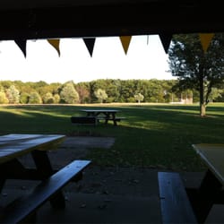
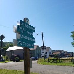
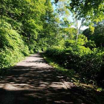
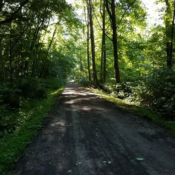
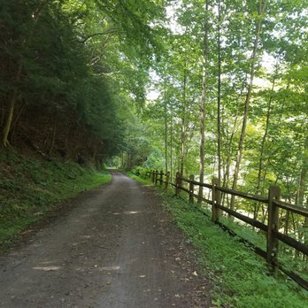
I'm relatively new to biking but always looking for a challenge. I first heard about the Butler Freeport Community Trail from my Dad when I asked him about some good local trails. The entire trail runs 20 miles on way between, you guessed it, Butler and Freeport. The trail follows Little Buffalo Creek. I met my Dad in Freeport early one Friday morning to take on the trail. We decided we'd ride to a little coffee shop he knew of in Herman and see how we felt. I found the ride to Herman a bit difficult due to what seemed like a gradual and steady incline. But the trail is mostly shaded and comfortable even when it's sunny. There are quite a few road crossings and we rode by a farm and a country club. We did also see a couple portajohns along the way. Once we hit Herman, we were sad to see the coffee shop was not yet open for the day. We took a short break and had a snack at one of the picnic tables under a shelter. I was feeling it from the ride there and while I wanted to complete the whole trail I didn't think I had a extra ten miles in me. Especially after my Dad told me those last 5 miles were all uphill. So we headed back and enjoyed a much easier ride, still ending the day with a 30+ mile ride. The trail is wide enough but take caution near the edges because there is a bit of a drop-off and not much to stop you from tumbling into the creek. The trail is well cleared. We came across a down tree that we had to walk our bikes around but it appeared to have just fallen in the last day or two, likely during one of the storms that rolled through. The trail is easy enough to find and there was parking available near the trailhead. I'd like to go back to take on the whole 20 miles. read more


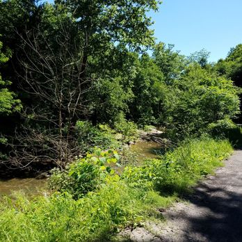

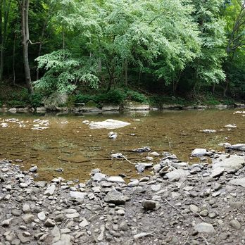
I just discovered this trail this year. It is such a tranquil place to ride. The trail has mostly bikers but there are also people who walk the trail and fish in the river. The trail is a total of 20 miles long each way. The views are gorgeous. I highly recommend it. Get out an enjoy nature! read more


15 years ago


15 years ago
11 years ago