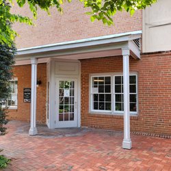
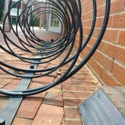
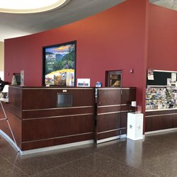
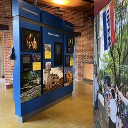
Appomattox Visitor Information Center Photos


More like Appomattox Visitor Information Center
Recommended Reviews - Appomattox Visitor Information Center
Start your review...

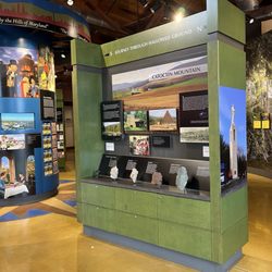
We came here 8/13/22 to celebrate our milestone. The hours of operation are from 9a-5p. Parking is limited on the street and the lot holds about 7-8 spaces. If you have been to one visitor center you have been to them all. Little nick nacks, maps, and what nots. If you like to see stuff while traveling diffinitely worth stopping by. It's in the historic district and you will see Lee's retreat markers about as well as plaques letting you know cool stuff that happened here. The visitors center is across from farmers Bank. A block down its a cute little mom and pop restaurant. read more


More info about Appomattox Visitor Information Center
214 Main St
Appomattox, VA 24522
Directions
(434) 352-8999
Call Now
Hours
Other Amenities
From the Business
Ask the Community - Appomattox Visitor Information Center


Appomattox Visitor Information Center - visitorcenters - Updated May 2026
Best of Appomattox
People found Appomattox Visitor Information Center by searching for…
Browse Articles
Browse Nearby
Browse Brands
Related Cost Guides
Trending Searches in Appomattox, VA
Botanical Gardens near Appomattox Visitor Information Center
Bounce House Rentals near Appomattox Visitor Information Center
Campgrounds near Appomattox Visitor Information Center
Flower Shop near Appomattox Visitor Information Center
Garage Sales near Appomattox Visitor Information Center
Garden Center near Appomattox Visitor Information Center
Hair near Appomattox Visitor Information Center
Nurseries & Gardening near Appomattox Visitor Information Center
Outdoor Furniture Stores near Appomattox Visitor Information Center
Party Equipment Rentals near Appomattox Visitor Information Center
Pedicure near Appomattox Visitor Information Center
Pick Your Own Farms near Appomattox Visitor Information Center
Plant Nursery near Appomattox Visitor Information Center
Strawberry Picking near Appomattox Visitor Information Center
Table And Chair Rentals near Appomattox Visitor Information Center
People who viewed Appomattox Visitor Information Center also viewed
Lynchburg Museum & Visitor Services
1 review
Isbelle House
1 review
Clover Hill Tavern
1 review
Old Dominion Railroad Excursions
1 review
Lynchburg Kemper Street Station
1 review
Story Book Stays
2 reviews
Legacy Transport of Virginia
1 review
The Carriage House Inn and Events
7 reviews
$$
Longacre of Appomattox
11 reviews
Connoisseur Travel
6 reviews