From Kapaa (6.1 miles roundtrip)…read more
Let me begin by letting you know what you might want to pack:
1. Bug Spray
2. Long Pants, Long sleeve shirt.
3. 3 pairs of socks
4. 3L of water minimum
5. A machete
6. A good sense of direction
This trail was, in my opinion one of the toughest on the island currently. Reason being, besides the monster elevation gain, the fact that aside from a .3 mile section that was chainsaw cleared, there is not enough traffic through this trail to keep it well blazed...so you do the blazing.
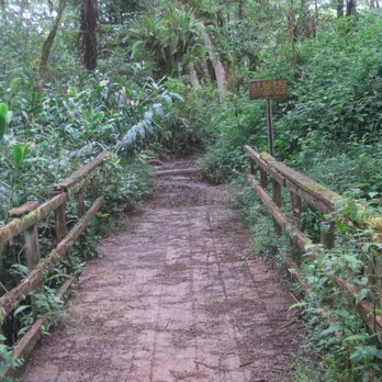
The first .25 is a cake walk up a cobble hill the width of a one lane road, and you think huh, my pick up could have done this section. Then at the top of the hill reality sets in, where someone tried to get up here and obviously got stuck leaving two huge ruts that have swelled with water and it wreaks like the zoo. Once you expertly craft a way around this you are greeted with a few banana trees. You might want to think twice, hack the fruit off with your machete and turn around and go home, seriously, consider it.
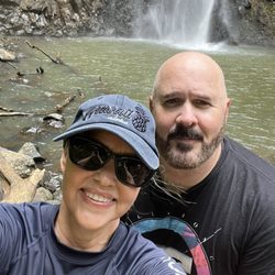
For those of you like me and my wife, the bananas will be reward if and when you pass them on your way out. So you're in! The next quarter mile is bushwhacking through ferns, oversized grass, reeds, prickers, and anything and everything with thorns! Things yout didn't realize had thorns, and your happy you listened to me and are long pants and long sleevin it up!
When you hit the .5 mile mark you will think you hit jackpot as this section is cleared via chain saw, like some one got airlifted in and paved your way. But suddenly, at the .75 mark (btdubs, no mile makers or trail markers on this bad boy) you realize that what was cut away was overgrown trees and limbs and such, and ferns, grass, prickers, they all grow back, fast!
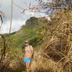
So now you are in it, and unless you are hiking it tomorrow, right after me, the odds of you moving quickly are slim, regardless of experience. Some have said boots are good, something water proof, I think, slow and steady wins here, picking your footing, being mindful of surroundings, enjoying the chaos of nature destroying what was once a road...sort of.
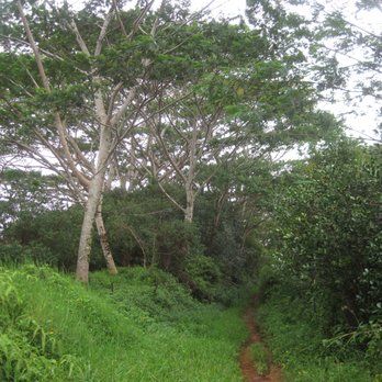
So from .75 to about 2.50, you will be bushehacking, clearing up the trail, with your feet and a stick, or with that machete I told you to bring. But, if you packed all things on my list, you will be comfortable.
At the 1.5 mark you pass a hillside to its right and snake down to where the trail is just about unrecognizable, move down further to you right, push through the tall weeds and just past this at the 1.7 mark (all these mile marks are "roughly") there is what I would consider a helicoper landing area. This is a nice spot for a rest, some great photos, and to strip down from your attire and air out, as though the full body coverage is necessary, it's also pretty darm warm.
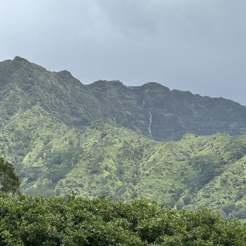
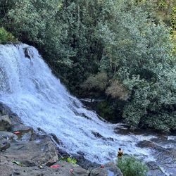
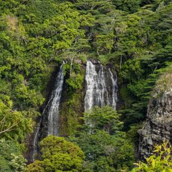
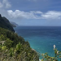
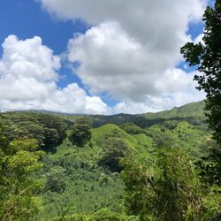
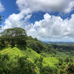
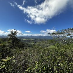
Move past this section to continue blazing your own trail, passing over around and though bogs, river beds and what looks like a trail, occasionally mistepping and trading out socks because you were wise ans brought a few pairs. Remmer that there are so many opportunities for great photos that it doesn't matter that it took you two hours to move two miles. Clear views of waialeale and kawaikini, direct un adulerteated shots of lihue, kapaa, sleeping giant, the hone steads. Waterfalls off to your right, valleys you have never seen before erupt in front of you.
At about 2.5 the "road" seems to appear and you have degraded red dirt river bed with huge ditches and divots, slippery sections, pools of water that you want to avoid. You will slip at some point. Try like me to catch it on video, or as you are videotaping...don't worry my phone is okay. NOTE to self: get that gopro.
The next section rises up quite a bit in elevation, in direct sunlight, but wide open with little debris. To your right you will see powerline T139. My guess, it's the 139 tower. Take this to the top of the hill, right around 3.1 miles and turn around. You will be blown away.
Snap a pic, turn around and do it all over! Don't forget the bananas!
Mahalo and Namaste