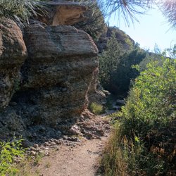
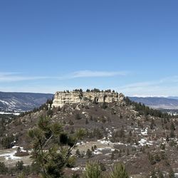
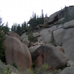
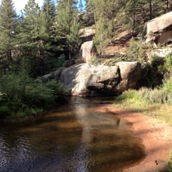
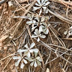
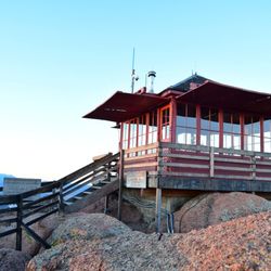
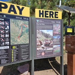
Lincoln Mountain Fun Run Photos


You might also consider
More like Lincoln Mountain Fun Run
Recommended Reviews - Lincoln Mountain Fun Run


More info about Lincoln Mountain Fun Run
7333 E Jones Rd
Greenland, CO 80118
Directions
(719) 400-5122
Call Now
Hours
Outdoor Amenities


Lincoln Mountain Fun Run - hiking - Updated May 2026
Best of Greenland
People found Lincoln Mountain Fun Run by searching for…
People who viewed Lincoln Mountain Fun Run also viewed
Monument rock
6 reviews
Mount Herman Trail
2 reviews
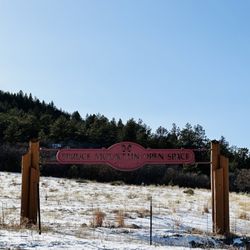
Spruce Mountain Open Space - Douglas County
13 reviews
Williams Canyon Trail
3 reviews
Red Rock Canyon Open Space
157 reviews
Intemann Trail
5 reviews
Midland Trail
1 review
Pikes Peak - America's Mountain
396 reviews
Paint Mines Interpretive Park
91 reviews
Quarry Mesa Open Space
1 review