Lanikai Marker Photos



More like Lanikai Marker
Recommended Reviews - Lanikai Marker
Start your review...



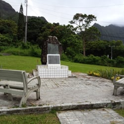
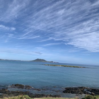
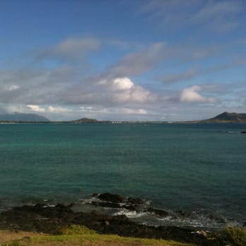
Also known as Alala Point Coast Guard Marker, Lanikai Marker is a concrete and stone monument built in 1924 by the developers of the Lanikai housing subdivision on the rise overlooking the eastern end of Kailua Beach Park (near where Mokulua Dr. meets A'alapapa Dr.). This spot is popular with locals and visitors alike because it sits adjacent to the Kailua Beach Park bike path and affords picturesque views of Kailua Bay, Mokapu Peninsula, and Popoi'a (Flat Island). NGS brass survey marker #TU1072 (N 21° 23.745 W 157° 43.221) has also been placed at the base of Lanikai Marker as a benchmark (no cache). Many years ago, this region was a windswept plain filled with native grasses and overlooked by treeless mountains. The Hawaiians called it "Ka'ohao" which means tying or joining together. (Lanikai is a nonsensical word meaning "sea heaven" created by someone unfamiliar with the Hawaiian language.) The ancient Hawaiians used the mountain tops between Alala Point (near the stone monument at the entrance to Lanikai) and Wailea Point (near Bellows) to watch for fish. The first permanent houses were built in 1924. The owners used them as weekend and vacation retreats because the drive over the old Pali Road was very slow and winding. Beach-front property originally sold for 20 cents a square foot and was not very popular because there were no windbreaks to protect the structures from gusty sea breezes. Today, the area has become extremely popular as a tourist destination. Lanikai Marker itself rates three stars; while historical, it is not especially interesting or beautiful to see. However the view from Alala Point rates fives stars and is definitely worth seeing if you are in Kailua! read more


13 years ago