John O'Groats Sign Post Photos




Recommended Reviews - John O'Groats Sign Post
Start your review...



7 months ago
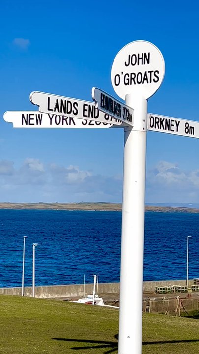
Not our first time up here in the North - we always love to come back to this area. But we've never visited John O'Groats - this year though we made some time for a visit. It's often advertised as the Northernmost point - which it is actually not. That would be Dunnet Head. But it is the northernmost settlement (or village so to call). Also ferries to the Orkneys depart from here. The name comes originally from Jan de Groot, a 15th-century Dutchman who once plied a ferry from the Scottish mainland to Orkney, which had recently been acquired from Norway by King James IV. The signpost is not the original from 1964 but was erected after the Hotel re-opened in the 2000s and is now publicly accessible without any fees. And this landmark brings in a lot of visitors. Restaurants, cafés, souvenir shops, a distillery....it's all here. As the counterpart "Land's End" in Cornwall it's often compared to a touristy theme park. And yes, it completely caters to tourists and visitors. But still, it was worth a visit. Some shops were pretty fun, the ocean views are beautiful and there's also the John O'Groats trail - a nice path along the coast. And if you like it very much, then there's the colourful Hotel where you could stay at. read more


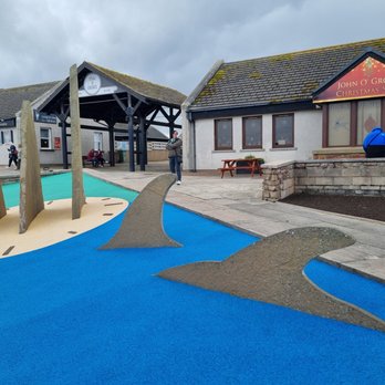

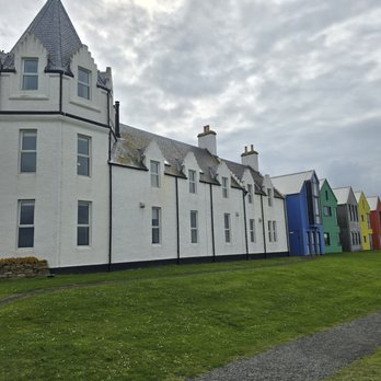


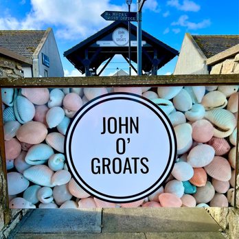
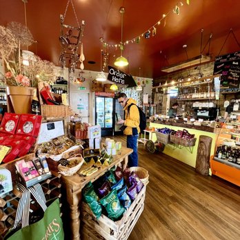
This is so much more than just a famous sign - it's a whole village built around the sign - with an old Victorian hotel, lots of whimsical murals, boats, a cute cafe and shops, a row of colorful houses, and even a whisky distillery! The John O'Groats sign marks the "journey's end" on the trek from the southernmost inhabited point in the UK (Land's End in Cornwall, England) to the northernmost inhabited point - John O'Groats village, Scotland! It's not actually the northernmost point in the UK though - that's nearby at a place called Dunnet Head. But it is the most northern village. The British even use the metaphor "from Land's End to John O'Groats" to signify a great, all-encompassing distance - kinda like how we American's say "coast to coast". It's a beautiful little village - very quaint and very windy haha! There's a little park which doubles as a trailhead for the 147 mile John O'Groats trail. It also holds the original bright red foghorn from the nearby lighthouse before it was automated. From the park, you can see the Orkney Isles in the distance and a line of very turbulent waves stretching from Orkney to the mainland - this is where the North Sea clashes with the Atlantic Ocean and is considered one of the most dangerous channels in the whole UK! I so badly wanted to get my drone up in the air but it was WAAAAY too windy lol. It's very remote but we got here doing the North Coast 500 route with Rabbies Tours (which is AMAZING by the way). We spent a few minutes in the cafe and shop - so many cute souvenirs and trinkets and very fun bottles of vodka and gin. We grabbed a coffee and a couple of pastries - all excellent! In the summer, a ferry runs from the village dock over to Orkney. Definitely worth a stop if you're doing the North Coast 500! read more


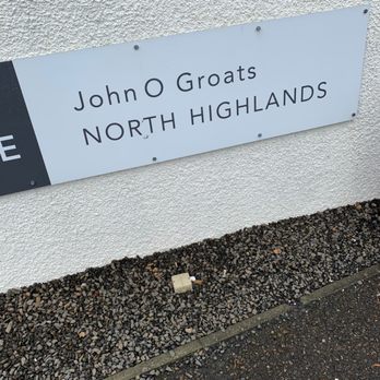
A little over four years ago, on Wednesday 10 July 2019, I adventured to John O'Groats for the first time, including the John O'Groats Sign Post. The post was located in-town by a few small businesses, a harbour for boats, and a walking trail overlooking the water with informational placard(s) along the walk. The area included public pay-to-use restrooms. It was cloudy and quiet on my visit. The sign post itself provides markers pointing towards different areas, some with the distance to the place. Other sign(s) in the town also denoted the area was John O'Groats in the Northern Highlands. read more