Jelks Preserve Photos



You might also consider


More like Jelks Preserve
Recommended Reviews - Jelks Preserve
Start your review...



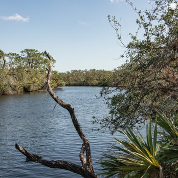
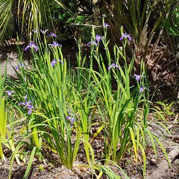
A beautiful landscape thanks to a trust fund. The trailhead has a helpful map. Take a photo before starting your trek. You have an option for a 3.3 mile loop or a shorter inner loop. I was planning for the larger loop but ended making a haphazard figure eight. The trail has numbered markers. The only problem is the roads often fork, which are not always on the map. Also, I could not find the observation tower because there was no signage. I easily walked five miles, more than I intended. Also, my photo dis not capture that section near 10. Murphy's Law at work. During March, I did not need bug spray but I am glad I brought extra water. The beginning and last half mile offers little shade. Trail section 12-14 is in a wetland area and close to the highway. It was also a bit uneven. A nice array of fauna and wild irises in the wetland area. In order to see the river, you need to take a detour from one of the offshoots. I recommend number six, which also has a picnic table. read more

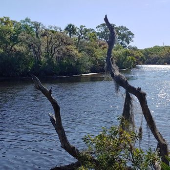



Definitely a great hiking or running circuit. Some lovely view spots along the way. Gopher tortoises. Known as gophuses to my lil. There's also a close in wilder narrow river trail for the firdt section. A loop is always a good trail design. This trail includes some nice sandy flatwoods and old wooded.oak sections with lota of air plants.covering the trees. Recommend. read more


7 years ago