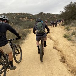
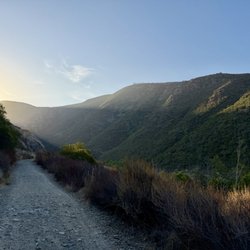
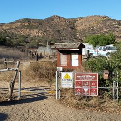
Highland Valley Trail Photos


You might also consider


More like Highland Valley Trail
Recommended Reviews - Highland Valley Trail
Start your review...


Reviews With Photos


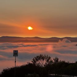
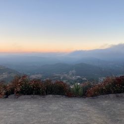
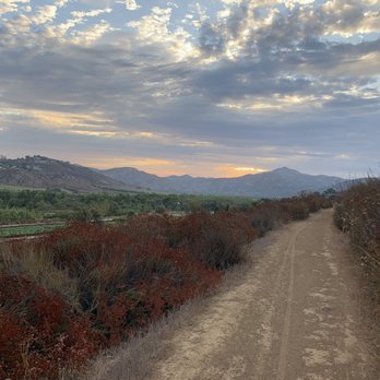
What a gem! Especially beautiful at sunrise with clouds above! Went out early due to a current hot spell and it was worth waking up early.


As you turn off Pomerado and start down the road, just before you get to the farm there's a little entrance to the carpark. The trail starts here. They have maps and a couple of bins. Handy for dog poo. The trail is out and back, we only walked for about a mile before heading back as Scabbers (our dog) was getting too hot. I liked this trail because it was quiet. A biker or two passed us and one other dog walker was there on our way in. The trail itself has some elevation but overall was quite flat. It was just a nice walk and a change of scenery. I'd like to go back and complete the trail.


This trail was just OK for me...It was a 4.2 mile (round trip) dirt path that was relatively flat and easy. I enjoyed the view but found the trail to be too busy. We went on a day that had a lot of bikers. There was a cycling club with about 100 bikers so we had to constantly step aside to allow them to pass. I'm taking my ladies group here over Easter weekend, so hopefully there will be less bikers. With the recent rain, the meadows were very lush and green. There were also lots of pretty wild flowers along the path. read more
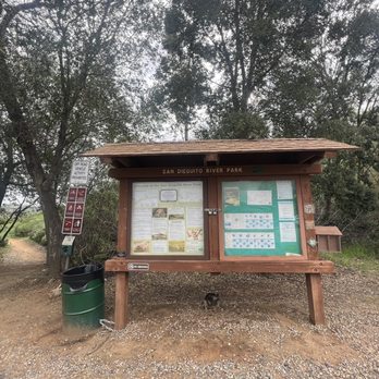


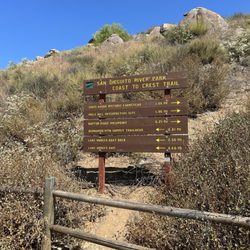
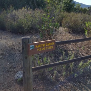
What a fun family trail. I stopped by here with my 6y/o daughter after hiking up battle mountain. It's over two miles one way (4 total because of the hike back) that goes along a small farm, an Oak tree covered bridge, and over several small rolling hills. Some shaded areas, but mostly no shade. At the trail head ( parking lot) there is also a small botanical garden. Before you start out on the actual hike, check out the notice board and grab a free trail map and Children's walk guild. If you complete this trail, the next level up would be the Coast to Crest trail that can be reached from the next parking lot down Highland road. Tip - There's a Ruth Merrill Children's Interpretive Walk guild at the Information board. You take the guild and look for the numbered trail makers along the trail. Each marker is labeled in the guild with some information about that particular ecosystem. read more


11 years ago
It's the best time of year in the North County off Highland Valley you can see the fields of pumpkins, sunflowers, and so much more. I am not sure of the name but the folks that are running the farm have been there for 2 years. There is an educational area for kids, goats, picnic area just a great day out!! Don't miss it but if you do Christmas is next. read more


7 years ago
What a gem! Especially beautiful at sunrise with clouds above! Went out early due to a current hot spell and it was worth waking up early. read more




As you turn off Pomerado and start down the road, just before you get to the farm there's a little entrance to the carpark. The trail starts here. They have maps and a couple of bins. Handy for dog poo. The trail is out and back, we only walked for about a mile before heading back as Scabbers (our dog) was getting too hot. I liked this trail because it was quiet. A biker or two passed us and one other dog walker was there on our way in. The trail itself has some elevation but overall was quite flat. It was just a nice walk and a change of scenery. I'd like to go back and complete the trail. read more



15 years ago
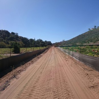
This is a low-intensity trail hugging the hillside and goes around the hill to little fields -- during October -- which are full of Pumpkins. If you continue walking, the trail will enter the wooded area. Or, just turn back, if you are with kids, and it's a decent 30 min walk with the kids. read more


More info about Highland Valley Trail
12373 Highland Valley Rd
Escondido, CA 92025
Rancho Bernardo
Directions
Hours
Indoor Amenities
Outdoor Amenities