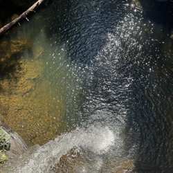
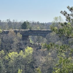
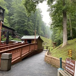
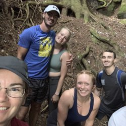
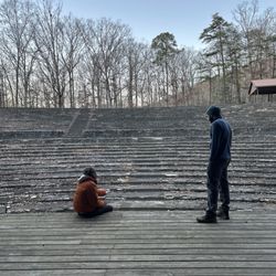
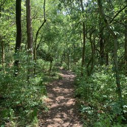
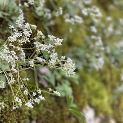
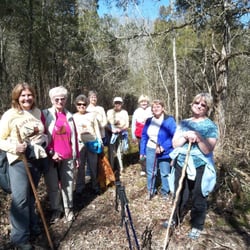
GRay’s Arch Trail Photos


More like GRay’s Arch Trail
Recommended Reviews - GRay’s Arch Trail
Start your review...

A beautiful place to visit. It's worth the hike to go there. Just be careful with the trails, there were areas where it's steep paths and slippery areas due to wetness, gravels or rocks and roots. It's an enjoyable hike, not for beginners, but manageable as long as you take your time. read more


2 years ago
More info about GRay’s Arch Trail
Tunnel Ridge Rd
Stanton, KY 40380
Directions
Hours
Outdoor Amenities


GRay’s Arch Trail - hiking - Updated June 2026
Best of Stanton
People found GRay’s Arch Trail by searching for…
Things to Do in Stanton, Kentucky
Hiking Trails in Stanton, Kentucky
Waterfalls in Stanton, Kentucky
Walking Trails in Stanton, Kentucky
Attractions in Stanton, Kentucky
Natural Hot Springs in Stanton, Kentucky
Running Trails in Stanton, Kentucky
Off Road Trails in Stanton, Kentucky
Tourist Attractions in Stanton, Kentucky
Things to See in Stanton, Kentucky
Things to Do on a Rainy Day in Stanton, Kentucky
Easy Hikes in Stanton, Kentucky
Things to Do at Night in Stanton, Kentucky
Points of Interest in Stanton, Kentucky
Scenic Views in Stanton, Kentucky
Swimming Lakes in Stanton, Kentucky
Walking Path in Stanton, Kentucky
Camping & Campsites in Stanton, Kentucky
Trending Searches in Stanton, KY
Browse Articles
Browse Nearby
BEST of Stanton, Kentucky Coffee near GRay’s Arch Trail
BEST of Stanton, Kentucky Things to Do near GRay’s Arch Trail
BEST of Stanton, Kentucky Parks near GRay’s Arch Trail
BEST of Stanton, Kentucky Restaurants near GRay’s Arch Trail
BEST of Stanton, Kentucky Scenic View near GRay’s Arch Trail
BEST of Stanton, Kentucky Breakfast near GRay’s Arch Trail
BEST of Stanton, Kentucky Campgrounds near GRay’s Arch Trail
Browse Brands
Related Searches in Stanton, KY
Best Fishing Locations and Guides in Stanton, Kentucky
Best Nature Trails for Hiking in Stanton, Kentucky
Best Places for Horseback Riding in Stanton, Kentucky
Best Spots for Star Gazing in Stanton, Kentucky
Best Waterfalls and Swimming Holes in Stanton, Kentucky
Discover Popular Bike Trails in Stanton, Kentucky
Discover Top Boat Tours in Stanton, Kentucky for All Ages
Discover the Best Night Hike Trails in Stanton, Kentucky
Discover the Best Running Track in Stanton, Kentucky
Dog-Friendly Hikes With Dogs in Stanton, Kentucky
Enjoy Tent Camping Spots Around Stanton, Kentucky
Enjoy the Best Night View Spots in Stanton, Kentucky
Enjoy the Best Walking Trails in Stanton, Kentucky
Explore Beautiful Parks and Green Spaces in Stanton, Kentucky
Explore Bike Rentals Throughout Stanton, Kentucky
Explore Easy Hikes Perfect for All in Stanton, Kentucky
Explore Free Things to Do Around Stanton, Kentucky
Explore Popular Campgrounds Near Stanton, Kentucky
Explore Popular RV Parks Around Stanton, Kentucky
Explore Popular Scenic Overlook Points in Stanton, Kentucky
Explore Popular View Points Around Stanton, Kentucky
Explore Scenic Lakes to Visit in Stanton, Kentucky
Explore Volleyball Courts Available in Stanton, Kentucky
Explore the Best Boating Spots in Stanton, Kentucky
Explore the Best Swimming Holes Around Stanton, Kentucky
Find Fun Kids Activities Outdoor in Stanton, Kentucky
Find Parks and Recreation Activities in Stanton, Kentucky
Find Top Dog Swimming Spots in Stanton, Kentucky
Find Top-Rated Disc Golf in Stanton, Kentucky
Find the Best Playgrounds to Visit in Stanton, Kentucky
Find the Best Scenic View Locations in Stanton, Kentucky
Find the Best Swimming Pools in Stanton, Kentucky Today
Hiking Trails With Waterfalls in Stanton, Kentucky
Locate a Public Shower Facility in Stanton, Kentucky
Must-See Tourist Attractions Around Stanton, Kentucky
Perfect Spots to Watch Sunset in Stanton, Kentucky
Picnic Areas With BBQ Pits Available in Stanton, Kentucky
Plan a Scenic Drive Route Near Stanton, Kentucky
Popular Fishing Spots to Explore in Stanton, Kentucky
Popular Kids Activities in Stanton, Kentucky
Popular Things to Do in Stanton, Kentucky
Popular Things to See in Stanton, Kentucky
Relax at Natural Hot Springs Near Stanton, Kentucky
Safe River Swimming Areas in Stanton, Kentucky
See Top Fireworks Events in Stanton, Kentucky
Top Places to Visit in Stanton, Kentucky for Sightseeing
Top Swimming Lakes to Enjoy in Stanton, Kentucky
Top Things to Do With Kids in Stanton, Kentucky