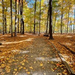
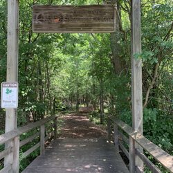
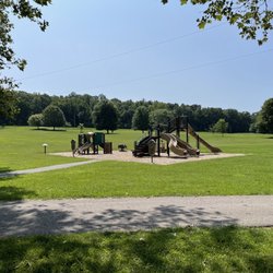
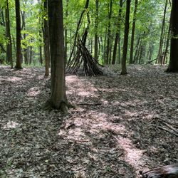
Genesee Riverway Trail Photos


More like Genesee Riverway Trail
Recommended Reviews - Genesee Riverway Trail
Start your review...



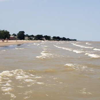
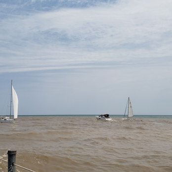
Went on a hike that started at Turning Point Park and we kept on following the signs all the way to the end, which turned out to be the pillar on the cement block out in the middle of Lake Ontario where the Genesee River empties out. I'm not sure how many miles it was, but I can tell you we walked about 16,000 steps from the parking lot to the end and back. It was a nice walk and we ended up walking by the waterways and passing by great places to grab a drink, as well as a carousel. Definitely check this trail out. read more



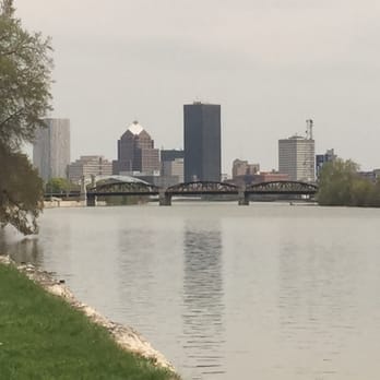
*Writing this review in hopes I can leave an updated five star review in a few years. I know updates and upgrades to the things I am complaining about are happening via Roc the Riverway. I am simply writing this review based on my recent experiences traversing this trail* Sigh. I am going to be blunt here...this trail could be The Shit and it is instead simply, shit. I have made it my quarantine mission to walk this whole trail and have made it most of the way at this point, just leaving the end of the trail by UofR left to do. I have felt a wide variety of emotions while traversing so far, the most prominent being frustration and disappointment. We can and WILL do better, but I do think there's some very basic things that could happen like tomorrow without millions of dollars to help keep this trail up for locals. ANYWAYS... I don't think it is possible for the signage to be less clear in the downtown portion of this trail. I walked it as though I was a tourist and found it deeply upsetting. Not only are the NUMEROUS portions of the trail that take you on an uncertain goose chase, much of it is not on the water at all. The portions that are (coming up to Main St etc) look as though they have not been touched or thought about since the trail was created. I am determined to keep trying and learn more each time I do this walk. Overall, if you are a tourist wondering if this is worth exploring: it IS! Just stick to visiting each individual park/landmark and walking portions of the trail that way. Avoid the center city portion, and you will find some beautiful views. Looking forward to see how we improve this as a city in my lifetime! read more


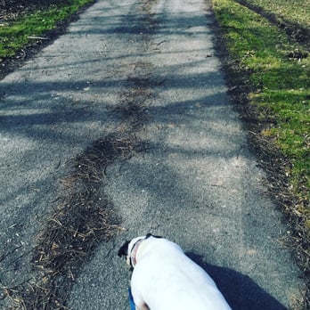
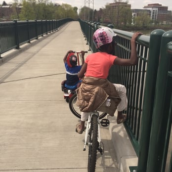
Great paths for walking, jogging, biking! Please keep your dogs leashed though. I do wish there were some more garbage cans on the trail as I usually get stuck holding a bag of dog poop for a few miles. Not great in the Rochester winters, unless you have special gear. read more