Buffalo National River Photos


More like Buffalo National River
Recommended Reviews - Buffalo National River
Start your review...


Reviews With Photos


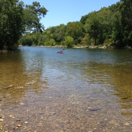
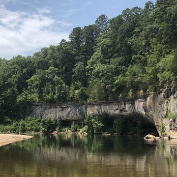
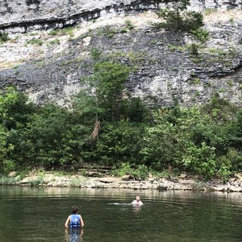
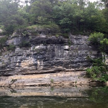
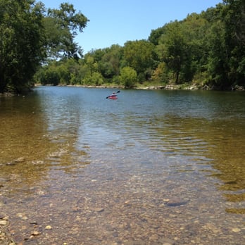
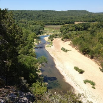
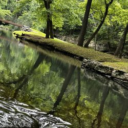
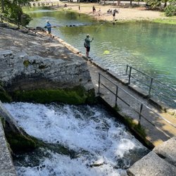
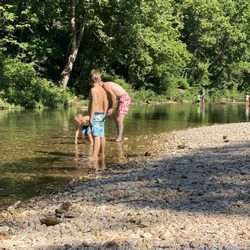
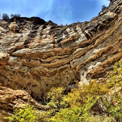
A beautiful wild river in the heart of Arkansas. This river remains undamaged by man, it has not been dammed and runs freely. As a result, if you plan on paddling down the river make sure you check rainfall and water levels. It is 151 miles long and it is possible to paddle and camp along the river where ever you find a place! We canoed Tyler's Bend to Gilbert, about 5 miles. When the water is low, this portion of the river is great for beginners and for taking small children (we took our 2 year old). When the water is in the lower side you might drag on the river floor in places. There are several deeper areas to swim and even a place to jump off the rocks! The water is clear and beautiful and you'll pass many tall bluffs.
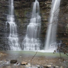
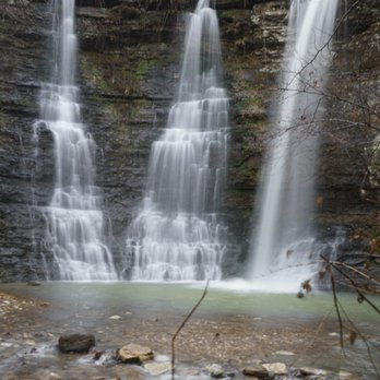
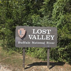
Truly an undiscovered gem in America. My very favorite place in Arkansas. I live in Oklahoma 3 hours away and hike, camp, float here about 8 times a year on average. Get out and see it. Floating Zipline Triple Falls Lost Valley Elk viewing Goat Bluff Trail Hawksbill Crag Glory Hole Falls Hemmed In Hollow Pedestal Rocks The above are all my favorite things to do here.


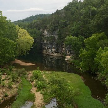
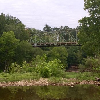
Floating the Buffalo River is the perfect weekend getaway. Me and my family love seeing all the beautiful scenery when floating. Another fun idea while floating the river is overnight tent camping. Perfect for a weekend getaway.
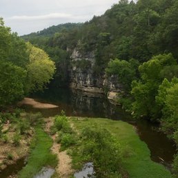

This was a drive by stop. Didn't get to venture and see the remaining beauty. But right away, I knew I would be back someday to kayak, fish and surround myself in the tranquility of the Ozarks.

7 months ago
Beautiful area with a lot of hiking trails. One or 2 are easy but the rest will be more difficult. We had my parents with us so we did the easy Homestead Trail and walked from the homestead to the viewing platform and back. Then we drove around a little and found parking areas at campsites close to the river so we could get other views. The ranger did tell us that we could get more places if we had 4WD. We stayed mostly in the middle and lower sections. I wish we'd gone at night for the night sky but wasn't aware of it at the time and needed to move on to our next destination. We will be back in the future to enjoy more of the river and the park. read more

I finally made it to the Ozarks in AR! It had long been on my bucket list for years but now it's gone from it. And today, I'm writing this review solely based on the drive down to Triple (aka Twin) Falls. If you are not into a long hike (2 miles+ one way), then this is definitely the one for you. To see the waterfall, you'll only need to take a very short hike from the trailhead (although driving down there is very winding and steep so there is even a road sign that says, "Cool your brakes" on the way.) Going back to the hike part, if you want to go up to the top of the waterfall however, you'll need to hike another 0.25 miles from the bottom but it's definitely doable even if you absolutely hate to hike/walk! The exact date of the hike was today (Wednesday, April 20, 2022). It had been raining on and off all day so the trail was muddy. But in my opinion, the rain made the whole experience so mystic, mysterious, and very green with abundance of water spouting out from the top of it. The water was, surprisingly, not so muddy. We took the time to explore the area for at least an 1.5 hours. Interestingly, not a single soul came and went during the whole duration of our visit; we had the whole area to ourselves. The area was so picturesque. It's definitely a great place for a meditation to empty your mind. You'll also have so many spots to take beautiful pictures from so many different angles. I HIGHLY recommend this place for waterfall chasers!! read more


A beautiful wild river in the heart of Arkansas. This river remains undamaged by man, it has not been dammed and runs freely. As a result, if you plan on paddling down the river make sure you check rainfall and water levels. It is 151 miles long and it is possible to paddle and camp along the river where ever you find a place! We canoed Tyler's Bend to Gilbert, about 5 miles. When the water is low, this portion of the river is great for beginners and for taking small children (we took our 2 year old). When the water is in the lower side you might drag on the river floor in places. There are several deeper areas to swim and even a place to jump off the rocks! The water is clear and beautiful and you'll pass many tall bluffs. read more



7 years ago
Truly an undiscovered gem in America. My very favorite place in Arkansas. I live in Oklahoma 3 hours away and hike, camp, float here about 8 times a year on average. Get out and see it. Floating Zipline Triple Falls Lost Valley Elk viewing Goat Bluff Trail Hawksbill Crag Glory Hole Falls Hemmed In Hollow Pedestal Rocks The above are all my favorite things to do here. read more


10 years ago
Floating the Buffalo River is the perfect weekend getaway. Me and my family love seeing all the beautiful scenery when floating. Another fun idea while floating the river is overnight tent camping. Perfect for a weekend getaway. read more




14 years ago
This is one of the most beautiful places. There is so much for the outdoor enthusiasts and for the nature addict. If you are looking for beauty then this is the place for you. read more


8 years ago

13 years ago
7 years ago
12 years ago
More info about Buffalo National River
Ask the Community - Buffalo National River
Hello! Are you able to camp out anywhere on the river? If so, where are the best spots? Also, are there any regulations about starting a fire on the side of the river? Thanks!
Yes, you are allowed to camp on the gravel bar as long as it is at least half a mile up or down river from an established campground. Campfires are also permitted on the gravel as long as they are completely extinguished and any makeshift fire rings…
Review Highlights - Buffalo National River
















Why does Yelp recommend reviews?
1 review that is not currently recommended
The reviews below are not factored into the business's overall star rating.
5 years ago


