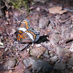
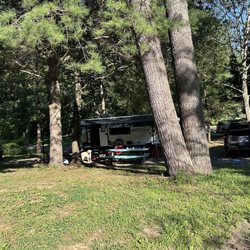
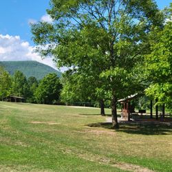
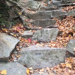
Bald Eagle Mountain Photos


More like Bald Eagle Mountain
Recommended Reviews - Bald Eagle Mountain
Start your review...

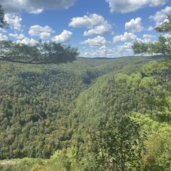
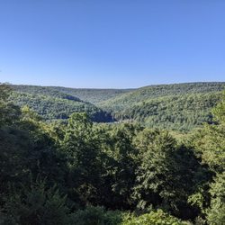
Beautiful scenic overlook off Route 15. Plenty of parking, telescopes (must add quarters) for closer looks, and fresh air high up on the mountain! Unfortunately no bathrooms or trash cans. Definitely worth a stop! Plenty of photo ops. read more


More info about Bald Eagle Mountain
2550 US Hwy 15/501
Armstrong Township, PA 17702
Directions
Hours
Outdoor Amenities


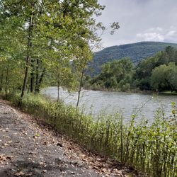


Bald Eagle Mountain - hiking - Updated July 2026
Best of Armstrong Township
People found Bald Eagle Mountain by searching for…
Things to Do in Armstrong Township, Pennsylvania
Scenic Overlook in Armstrong Township, Pennsylvania
Places to Take Pictures in Armstrong Township, Pennsylvania
Scenic Views in Armstrong Township, Pennsylvania
Scenic Drive in Armstrong Township, Pennsylvania
Photo Spots in Armstrong Township, Pennsylvania
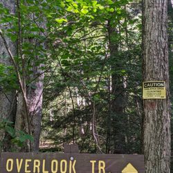
Hiking Trails in Armstrong Township, Pennsylvania
Star Gazing in Armstrong Township, Pennsylvania
Running Trails in Armstrong Township, Pennsylvania
Walking Trails in Armstrong Township, Pennsylvania
Beautiful Views in Armstrong Township, Pennsylvania
View Points in Armstrong Township, Pennsylvania
Night View in Armstrong Township, Pennsylvania
Waterfalls in Armstrong Township, Pennsylvania
Lookout Points in Armstrong Township, Pennsylvania
Day Trips in Armstrong Township, Pennsylvania
Tourist Attractions in Armstrong Township, Pennsylvania
Off Road Trails in Armstrong Township, Pennsylvania
Swimming Holes in Armstrong Township, Pennsylvania
Swimming Lakes in Armstrong Township, Pennsylvania
Scenic Restaurants in Armstrong Township, Pennsylvania
Stargazing in Armstrong Township, Pennsylvania