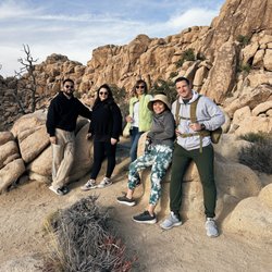
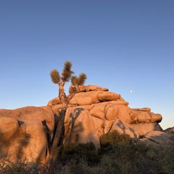
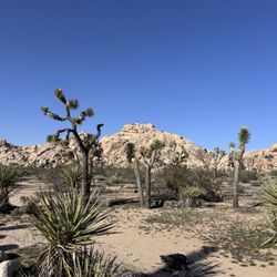
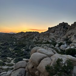
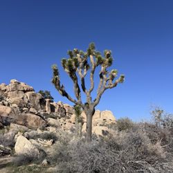
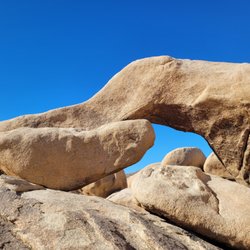
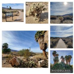
Split Rock Trail Photos


You might also consider


More like Split Rock Trail
Recommended Reviews - Split Rock Trail
Start your review...



8 days ago

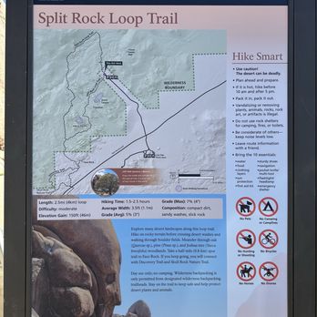
Split Rock Trail is a 2.5 mile loop hike in Joshua Tree National Park. It's a relatively easy hike with no much elevation. You start off with a bumpy road driving in and end at a parking lot with restrooms at the trailhead. We did the hike in the counter clockwise direction which was a little confusing at first because there weren't a lot of obvious markers leading you along the trail so we almost gave up. Eventually we followed other people and figured it out but I wonder if it would've been a little more clear had we gone clockwise instead. It was a pretty easy hike other than some incline. Of course, there's not much shade here so bring plenty of water and take breaks if needed. read more




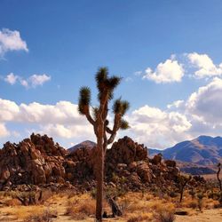
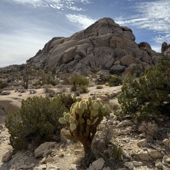
I enjoyed this trail a lot! It has multiple kind of rock shapes ( face rock, fish eye rock, hidden egg rock, engineering rock, funny rock etc... ) And hike can be as short of 30 minutes to 2 hours. We went on weekend in Feb. weather was perfect and not much busy. No issue with parking and trail was equipped with restroom same as other trials. read more

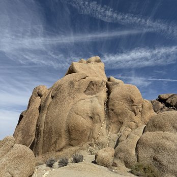


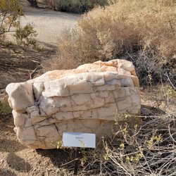
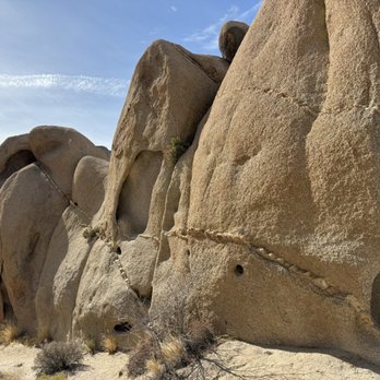
SPLIT ROCK TRAIL. Split Rock Trail is a popular trail in Joshua Tree National Park. This trail has its own dedicated parking lot, which can be accessed by short gravel road. This gravel road is easy to find, because it is directly across Park Boulevard from LIVE OAK PICNIC AREA. The trailhead has a gigantic boulder that is cleanly split into two parts. Huge split boulders with this type can also be found, for example, in the eastern half of Hidden Valley (next to one of the campsites) and also in the back country in between White Tank Campground and Belle Campground. BOULDERS TO SEE ALONG THIS TRAIL (Counterclockwise Route). Split Rock Trail is a loop that is just under two miles long. Along this trail we find an assembly of boulders that resembles an Old Man with a Finger Up His Nose (see my photo). That is my name for it. Nearby, we find a chockstone (see my photo). A chockstone is just a stone that is permanently wedged between two cliffs that face each other. The chockstone that is near Split Rock Trail is smooth. Other chockstones in JTNP are rough and uneven, and also smooth. Near the Old Man with a Finger Up His Nose, is a Cyclops Rock (see, my photo). Each of these stone formations: (1) Old Man, (2) Chockstone, (3) Cyclops, and (4) Pair of Sculpted Monoliths, are all encountered during your first five minutes of walking in a counterclockwise route, starting from Split Rock. Pair of Sculpted Monoliths occurs near the south edge of the trail (located to your left, as you walk counterclockwise). The other stone formations occur to your right, and outside of the boundaries of this loop trail. CLOCKWISE ROUTE. If you choose the counterclockwise route, during the first five minutes you will encounter a nice example of quartz dikes in monozogranite. These quartz dikes are also called, "intrusions." See my photo of this. More beautiful examples of the same type of quartz dike can be found in nearby Live Oak picnic area, especially at the southern end of the short dirt road in Live Oak picnic area. In addition to seeing these quartz intrusions, what can be found near Split Rock Trail is a monolith, where this monolith (in combination with a stone that is behind it) looks like a hand and thumb (see attached photo). At the southern-most part of Split Rock Trail, this trail intersects with another trail, called DISCOVERY TRAIL. Discovery Trail is another loop trail. At the intersection of Split Rock Trail and Discovery Trail is a boulder called, FACE ROCK. Face Rock looks like a man. Face Rock has been photographed by many people, and examples can be found in the internet. MAPS SHOWING BOULDERS. Joshua Tree Rock Climbs by Robert Miramontes is a 522-page book that provides maps showing locations of thousands of boulders in JNTP, including those near Split Rock Trail (see, pages 394-395). Color photos of many these boulders are also shown, together with colored lines that show established climbing routes. The most prominent boulder in the Split Rock area is called, GRAND CANYON. Split Rock Trail has a generally oval shape, where the two sharper curves on the oval are situated at the north (near Split Rock) and to the south (near Discovery Trail). GRAND CANYON is shaped like a massive skyscraper, where the left side and right side of this skyscraper are located to the east and west, respectively. The book also shows locations of the boulders, Cling or Fling, Corridor, Screamer Rocks, Isles in the Sky, and Rubicon. These are all near the southern half of the Split Rock Trail loop. FRIGID TOWER is also shown in this book, and it occurs at the north end of the Split Rock Trail loop. A website can be found using the query terms, "joshuatree3d" plus "split rock." This website shows that Old Man With Finger up his Nose is part of FRIGID TOWER. AllTrails provides a map of the entire Split Rock Trail. read more