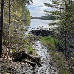
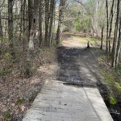
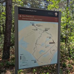
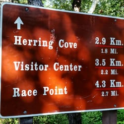
Phoenix Bike Trail Photos
More like Phoenix Bike Trail
Recommended Reviews - Phoenix Bike Trail
Start your review...

16 years ago
More info about Phoenix Bike Trail
8 Main St
Fairhaven, MA 02719
Directions
Hours
Outdoor Amenities


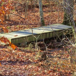


Phoenix Bike Trail - mountainbiking - Updated July 2026
Best of Fairhaven
People found Phoenix Bike Trail by searching for…
Running Trails in Fairhaven, MA
Walking Trails in Fairhaven, MA
Beautiful Views in Fairhaven, MA
Hiking Trails in Fairhaven, MA
Off Road Trails in Fairhaven, MA
Electric Bike Shop in Fairhaven, MA
Scenic Overlook in Fairhaven, MA
Places to Run in Fairhaven, MA
Lakes & Ponds in Fairhaven, MA
Fitness & Instruction in Fairhaven, MA
Used Bikes for Sale in Fairhaven, MA
Bicycle Repair Shops in Fairhaven, MA
Browse Nearby
BEST of Fairhaven, Massachusetts Things to Do near Phoenix Bike Trail
BEST of Fairhaven, Massachusetts Restaurants near Phoenix Bike Trail
BEST of Fairhaven, Massachusetts Coffee near Phoenix Bike Trail
BEST of Fairhaven, Massachusetts Parks near Phoenix Bike Trail
BEST of Fairhaven, Massachusetts Photo Spots near Phoenix Bike Trail
BEST of Fairhaven, Massachusetts Breakfast near Phoenix Bike Trail
BEST of Fairhaven, Massachusetts Campgrounds near Phoenix Bike Trail
Browse Brands
Browse Articles
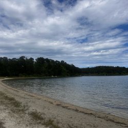
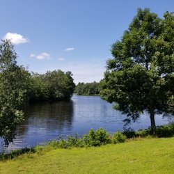
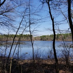
People who viewed Phoenix Bike Trail also viewed
Phoenix Bike Path
2 reviews
New Bedford Covewalk
4 reviews
Acushnet Sawmill
5 reviews
Simmons Mill Pond Management Area
8 reviews
Village Park
8 reviews
Little Compton Adventures
7 reviews
Washburn Park
5 reviews
Yester'year Cyclery
24 reviews
$$
Dartmouth Natural Resources Trust
5 reviews
Weaver Cove Public Boat Launch
1 review