Oakton Historic Marker Photos
More like Oakton Historic Marker
Recommended Reviews - Oakton Historic Marker
Start your review...



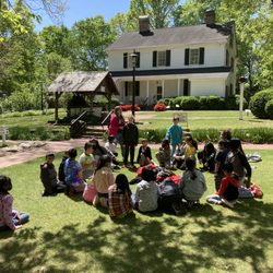
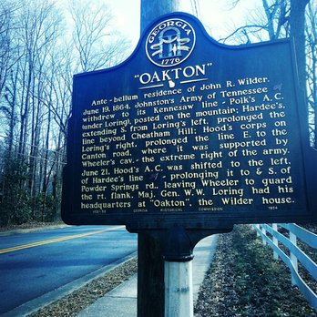
This historical marker on Kennesaw Avenue near St. Mary's Lane is a historical marker that marks the spot where John R. Wilder's home is and how Gen. Loring used it as a headquarter during the civil war. The cordinates for this marker are 33.9664242, -84.5616177 The marker is located in front of a private home so I opted to park on a nearby grassy knoll as to get a better view...of the signage not the President..I know what you conspiracy theorists were thinking... The sign reads "OAKTON" Ante-bellum residence of John R. Wilder. June 19, 1864. Johnston's Army of Tennessee [CS] withdrew to its Kennesaw line - Polk's A. C. (under Loring), posted on the mountain; Hardee's, extending S. from Loring's left, prolonged the line beyond Cheatham Hill; Hoods corps on Loring's right, prolonged the line E. to the Canton road, where it was supported by Wheeler's cav. - the extreme right of the army. June 21, Hood's A. C. was shifted to the left, of Hardee's line [CS] prolonging it to & S. of Powder Springs rd., leaving Wheeler to guard the rt. flank. Maj. Gen. W. W. Loring had his headquarters at "Oakton", the Wilder house. 033-50 GEORGIA HISTORICAL COMMISSION 1954 1126th review 1/7/2018 46th for 2018 read more