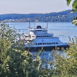
Jacob's Point Park Photos


You might also consider


More like Jacob's Point Park
Recommended Reviews - Jacob's Point Park
Start your review...



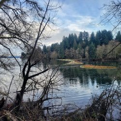
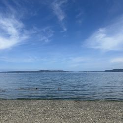
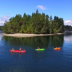
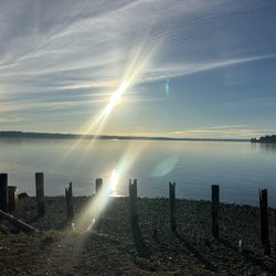
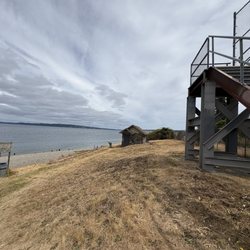
Jacob's Point is a small preserve on Anderson Island with a 3 mile walking path that illustrates both the beauty and the history of the island. There are many stops along the path, mostly to see the Puget Sound and Mount Rainer in the background. I'm always impressed with Mount Rainer because it seems to poke out of the skyline from nowhere. There are certainly Cascade Mountains that border Mount Rainer, but they are not nearly as high and nor are they visible unless you head towards the mountains. There is one stop showing the remnants of one of the first homesteads on the island. The only thing left is the brick chimney. Apparently, it was a hay farm for a few years before the family moved off the island to find work elsewhere. I can't imagine how hard it would've been to have a hay farm on the island. You would essentially have to provide all the food for yourself and figure out how to transport your hay to market. The most interesting part of the trail was the old brickyard. The mud in the area provided good brickmaking material and the cove on the Puget Sound enabled the brickmaker to ship the heavy bricks to buyers elsewhere. Initially, it didn't make sense to me to have a heavy brickmaking facility on a hard to reach island but if your mode of transport is feet away from the facility, it makes more sense. The boats would float into the cove during high tide before settling on to supports at low tide. At that time, they could fill the boat with bricks. The boat would raise off the supports at high tide and head to market. For someone like myself who grew up in the Midwest, it was interesting to see how businesses could use the tides to their advantage. Unfortunately for this particular brickmaking company, the brick market collapsed a few years after they started operation and were forced to shut down. read more


More info about Jacob's Point Park
Eckenstam Johnson Rd
Anderson Island, WA 98303
Directions
(253) 884-6911
Call Now
Hours
Outdoor Amenities