Cutler Coast Public Lands Photos


More like Cutler Coast Public Lands
Recommended Reviews - Cutler Coast Public Lands
Start your review...




4 years ago


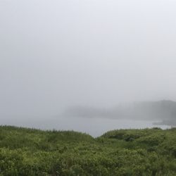
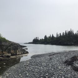
I'm so glad we stopped here! The trailhead is just off the 191 (http://www.maine.gov/dacf/parksearch/PropertyGuides/PDF_GUIDE/cutlercoastguide.pdf), about 3 miles northeast of Cutler. One of the more difficult hikes in Downeast - We took the Coastal trail to the overlook, which is supposed to be their easiest, and it took us just under 2 hours of moderate hiking for 2.8 miles. Not much in the way of amenities at the trailhead (just a toilet, parking lot, and they were out of maps), but luckily the local regional map had some advice for us novice hikers and the trail we took was well marked. The hike through the spruce-fir forest was filled with what we used to call "fairy houses" as a kid (lichen/moss/plantlife on trees that looked like miniature real estate) and ended in a lovely rocky cliff overlook of the Bay of Fundy. We only ran into three people in two hours, so this is fairly remote and uncrowded. I can't speak to the three first come first serve campsites that you have to hike 4 to 6 miles out to or the more difficult and longer trails that take you there. They campsites are supposed to have a lovely view of the coast. For more information on hiking the Bold Coast, see: http://www.maine.gov/dacf/mgs/explore/bedrock/sites/jun10.pdf read more
More info about Cutler Coast Public Lands


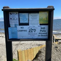

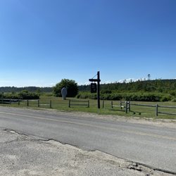

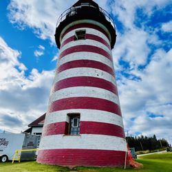


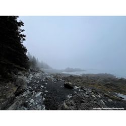
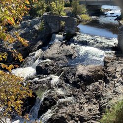






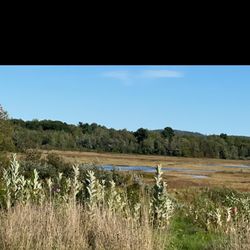








Cutler Coast Public Lands - hiking - Updated May 2026
Best of Cutler
People found Cutler Coast Public Lands by searching for…
Browse Brands
Browse Articles
People who viewed Cutler Coast Public Lands also viewed

Cobscook Bay State Park
10 reviews

Moosehorn National Wildlife Refuge
1 review

Roque Bluffs State Park
5 reviews

Cottonwood Camping & RV Park
6 reviews

Klondike Mountain Preserve
1 review

Bad Little Falls Park
3 reviews

Eastport Windjammers
11 reviews

Quoddy Head State Park
28 reviews

Alan Brooks Salt Ponds
1 review

Hamilton Cove
1 review