Big Creek Scenic Area Hiking Photos


More like Big Creek Scenic Area
Recommended Reviews - Big Creek Scenic Area
Start your review...

3 years ago


10 years ago
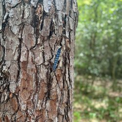
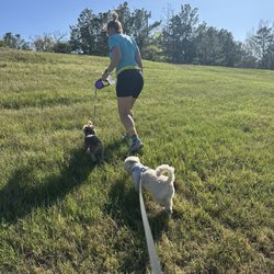
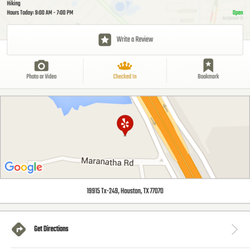
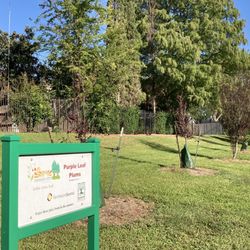
The Big Creek Scenic Area, Latitude : 30.5027 Longitude : -95.0833, is an USDA Forest Service designated area of special scenic quality. The Big Creek Scenic Area is named after the perennial Big Creek which runs through the area. The 98.6 mile long, Lone Star Hiking Trail, travels West and North through the Scenic Area and has three concentric trails that make easy and short loops for families, bird watchers, and outdoor enthusiast. The Lone Star Hiking Trail has a white rectangular marker on trees, the Pine Trail has a silver marker with yellow stripe, White Oak Trail has a silver marker with green stripe, and Big Creek Trail has a silver marker with orange stripe. There are benches along several of the trails to allow you to sit quietly to listen. Come out on a overcast day or have a night hike to hear Barred Owls hooting back and forth to each other. Evenings or nights you might see Beavers working on their dams on Big Creek. You can hike for 5 miles on the Lone Star Hiking Trail to the Double Lake Recreation Area (Campground) and back for a 10 mile hike. Find maps at lshtcsonservancy.org read more


More info about Big Creek Scenic Area


Big Creek Scenic Area - hiking - Updated May 2026
Best of Shepherd
People found Big Creek Scenic Area by searching for…
Trending Searches in Shepherd, TX
Baseball Fields near Big Creek Scenic Area
Blueberry Picking near Big Creek Scenic Area
Botanical Gardens near Big Creek Scenic Area
Bounce House Rentals near Big Creek Scenic Area
Campgrounds near Big Creek Scenic Area
Floral Designers near Big Creek Scenic Area
Flower Shop near Big Creek Scenic Area
Garage Sales near Big Creek Scenic Area
Garden Center near Big Creek Scenic Area
Nurseries & Gardening near Big Creek Scenic Area
Party Equipment Rentals near Big Creek Scenic Area
Pedicure near Big Creek Scenic Area
Pool Supplies near Big Creek Scenic Area
Browse Brands
Related Searches in Shepherd, TX
Best Fishing Locations and Guides in Shepherd, Texas
Best Places for Horseback Riding in Shepherd, Texas
Discover Top Boat Tours in Shepherd, Texas for All Ages
Enjoy Fishing Pier Spots in Shepherd, Texas With Scenic Views
Experience Deep Sea Fishing Adventures in Shepherd, Texas
Explore Beautiful Parks and Green Spaces in Shepherd, Texas
Explore Free Things to Do Around Shepherd, Texas
Explore Popular Boat Charters Near Shepherd, Texas
Explore Popular Campgrounds Near Shepherd, Texas
Explore Popular RV Parks Around Shepherd, Texas
Explore Scenic Lakes to Visit in Shepherd, Texas
Explore Top Dog Parks in Shepherd, Texas Near You
Explore Top Water Parks in Shepherd, Texas Today
Explore the Best Boating Spots in Shepherd, Texas
Find the Best Playgrounds to Visit in Shepherd, Texas
Find the Best Swimming Pools in Shepherd, Texas Today
Fun Toddler Activities to Try in Shepherd, Texas
Popular Fishing Spots to Explore in Shepherd, Texas
Popular Kids Activities in Shepherd, Texas
Popular Places to Take Pictures in Shepherd, Texas
Popular Things to Do in Shepherd, Texas
Popular Things to See in Shepherd, Texas
See Top Fireworks Events in Shepherd, Texas
Top Fishing Charter Experiences in Shepherd, Texas
Top RV Campgrounds to Visit in Shepherd, Texas
Top Things to Do With Kids in Shepherd, Texas
Top-Rated Basketball Courts to Play at in Shepherd, Texas